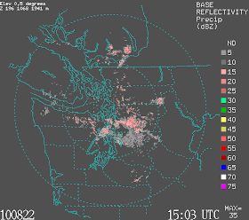
A brief note---here is the visible sat picture and the latest radar....as predicted by the models a convergence zone has set up, plus clouds/precipitation on the western mountain slopes. SUN is available even on the west side...for example, south of Tacoma there is bright sun right now. Or head east of the crest...get past Easton on I90 and you are out.


What a beautiful satellite photo! Yesterday seemed very autumnal. The sun's light is changing quickly; it is swinging ever closer to the due-west sunset of the equinox. The red mountain ash berries are approaching their ultimate red. A month to true fall. Cliff, is it true that in several La Nina years, September had very fine weather? And November is the "worst" month in terms of precip?
ReplyDeleteSo Cliff, what's the latest news on the new Radar? Along that line, will the other Radars in the San Juans and PDX be upgraded with the same technology?
ReplyDeleteIt has been beautiful all day here in Olympia, albeit a little cool. There has been a breeze from the south southwest all day and there are some leaves already blowing around on the ground. It does feel like fall.
ReplyDeleteActually, IN Tacoma we were sunny most of the day. Had five seconds of spritzes at 530 pm..that was it. Not even enough to call it a trace on my Cocorahs rain gauge. Great day for biking and berry picking down here. I note that often it is sunny in Tacoma and raining in Seattle during these convergence events. But, we won't tell anyone.
ReplyDelete