My podcast today has a lot of territory to cover: smoke spreading over western Washington, warm temperatures, and strong easterly winds creating substantial wildfire danger over Northwest Oregon.
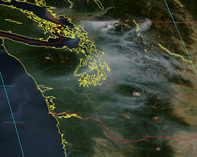
The visible satellite picture this morning shows the smoky story for western Washington, as smoke from fires on the eastern slopes of the north Cascades is pushed westward by increasing easterly (from the east) winds aloft.
The smoke layer tops out around 6-7 thousand feet, as evident from Crystal Mountain 360 cam this morning.
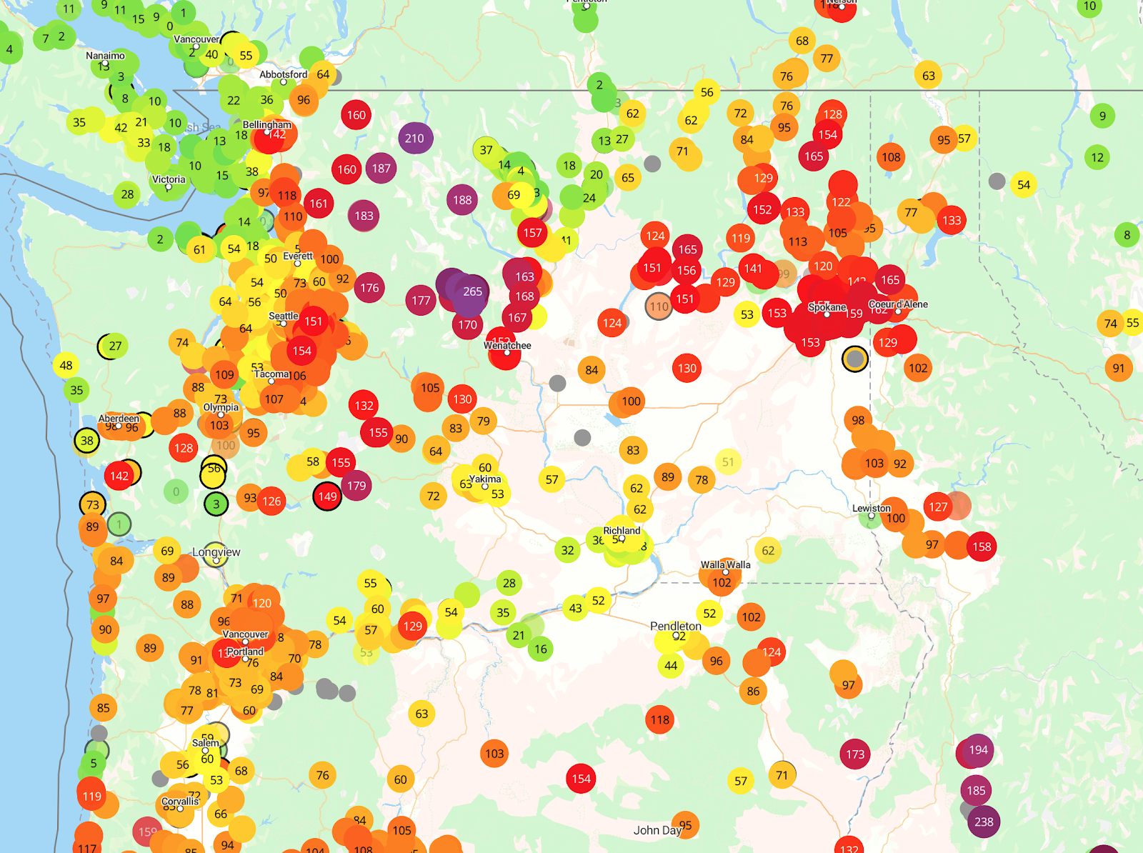
Air quality started fine this morning over western Washington, but is rapidly declining as the solar heating of the surface causes vertical mixing that eventually reaches the smoke layer and brings it down to the surface (see Purple Air air quality map around 2 PM below, red and purple colors show the worst conditions, green is clean air.).
The other issue is the potential for wildfires over NW Oregon as strong easterly winds are occurring over the region. Here are the maximum winds so far today--some reaching 50 mph.
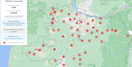
With warm, dry conditions and strong winds, the potential for wildfire growth is great. As a result, Portland Gas and Electric has turned off the power to TENS OF THOUSANDS of customers (see map below)
As described in my podcast, temperatures will warm in western Washington to the mid to upper 80s on Saturday, and smoky conditions will continue with poor air quality through the day.
But relief is in sight on Sunday, as cooler, clean marine air pushes into western Washington and Oregon.


Will the current fire near Stevens Pass affect the possible air quality improvement tomorrow?
ReplyDelete