There has been a lot of bad information distributed by some media outlets about La Nina and this winter (e.g., "Where is La Nina", "No Show La Nina", "Winter is Over") and some talk about snow on Sunday over the lowlands. I would like to deal with this by going into more depth about what La Nina does to our weather. I will also vent about the media.
Well, I hate to complain, but I was entirely misquoted on the front page of the Seattle Times today. They claim I said:
"Meanwhile, University of Washington meteorologist Cliff Mass says his projections show there’s little chance the Puget Sound area will see another big snowstorm or flooding this season"
This is NOT what I told them and is not what is stated in the interior article.
What I DID say is that it is rare to get MAJOR windstorms and flooding events in our region after the third week of February. That the really big snowstorms and cold waves tended to be before then and that we can get moderate snow events (several inches to say a half-foot) into the first week in March. After the first week in March, it is exceedingly rare to get more than an inch or two over the lowlands.
This is a La Nina year and our chances of getting snow during the next month--in the lowlands or in the mountains--- is ENHANCED compared to normal. But there are no guarantees. La Nina is like weighting the dice ...you increase the odds of a certain throw, but there are other possibilities.
I deal with the media quite a bit and I have to admit some frustration about how often bad information gets in print or on-air. I ask myself, if the information about something I know about is in error quite frequently, can I believe what I don't know about? Reporters have less and less time to do their stories and editors jump for a dramatic, but perhaps inaccurate headline. Even leading newspapers like the NY Times are doing some bad things (like hyping the connection between Siberian snow and east coast cold waves) or reporting...and providing headlines...for unrefereed junk science (like the suggestion that China dust was causing intensified Pacific storms). Just frustrating. We need more science reporters with the time to get the story right.
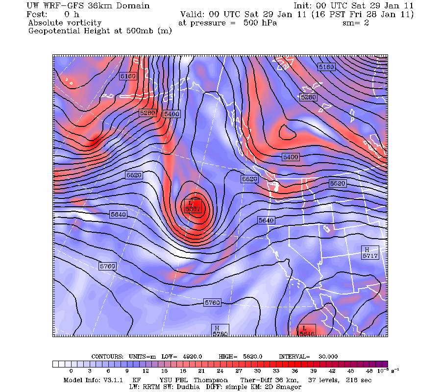
Current computer runs for the next several days show NO major snowstorms, windstorms, floods are anything else that would send KING TV's Jim Forman rushing out to get his famous parka (which I expect will be in the Smithsonian one day). But we will get colder for a few days, Fraser River outflow will hit Bellingham and NW Washington, winds will accelerate in the Columbia Gorge, and there could be an highly isolated snowshower on Sunday. And we will see a complete dry out starting Sunday that will last a long time.
So lets state some facts. We are in a moderate La Nina year and will be for the remainder of the winter. La Nina years are frequently associated over the NW with above average precipitation for the fall and winter, colder than normal temps after January 1, and greater than normal snowpack and lowland snow after New Years. La Nina years usually have higher than normal pressure and upper level ridging over the eastern Pacific, with enhanced northwesterly flow coming into our region.
None of this is guaranteed...just a higher probability that we will see it during a La Nina year.
Well....have we seen signs of La Nina? You bet we have. Time and time again ridging in the eastern Pacific has developed, as has NW flow over us. I could show you plenty of historical examples this winter, but how about 4 PM this afternoon?
Or 4 PM on Monday?
 Here is a plot of the difference in sea level pressure between La Nina years and all years (the anomalies from climatology in weather talk). Note the positive anomalies in the eastern Pacific (red and yellow), and the negative anomalies (blue) just inland
 And here is this year from Nov 1- Jan 26th. You can see the La Nina influence--with the positive anomalies (higher pressure than normal) south of the Aleutians. Similar to the typical La Nina year, but with small differences that have lessened the chances for snow (like weak troughing--lower pressure than normal--off our coast).
And has precipitation been above normal this winter so far, as it should for a well-behaved La Nina? Yes, it has. Here is the proof for Sea-Tac over the past 12-weeks (red is observed).
 So those claiming that La Nina has been a no show are not quite right. But what about the snow??
First, the winter is NOT over yet and we could still make up the mountain snowpack and get ahead of normal. Would not surprise me in the least. And to get lowland snow around here is REALLY tricky--you need the hard to secure combination of cold and wet. Consider this weekend....we will be close in some respects. Colder air is coming up, particularly late Sunday and into Monday. But the precipitation will be over then. No cigar. Yes, there could be a few snow showers as the last precipitation leaves, but this should not get any mayor gassing up the salt trucks.


Cliff, dealing with the media as much as you do, you should know this by now. Don't believe anything you read word-for-word. *Every* story I've had first hand knowledge of, or have been interviewed for in the media has had significant factual errors. However, I'll concede that in layman's terms, what was written made a good story, even if it wasn't all true. It's not that I don't think people want the truth (they do) or that they can't handle the truth (they can), it's that journalists always need to put their own narrative on top of the facts. They can't just be content with relating information from other sources.
ReplyDeleteCliff:
ReplyDeleteI got about 4" on April 18, 2008 3 miles NNE of Monroe (~400' elevation)... so lowland snow can most definitely happen after February, even March. In fact, that afternoon, I even saw thundersnow in Snohomish. I'm not counting winter out just yet!
Thanks for the updates Cliff,I know reporters always go for the dramatic. My husband is an ex-newspaper editor and always warns that 'news' is the exception to the norm and reporters will always go for the exception...or look for any sign of it in a story.
ReplyDeleteThat's why I enjoy reading your blog, it gives balance to the weather news. Kate
Almost every time I was involved in news stories, the facts were wrong - and almost the opposite of the reports. Not a good sign for trusting newspaper stories.
ReplyDeleteNOAA Saturday morning is a bit more leaning toward snow on Sunday, Jan 30th. The morning AFD:
ReplyDeleteTHERE WOULD BE A POTENTIAL FOR AT LEAST A FEW INCHES OF WET SNOW OVER WESTERN SNOHOMISH/N KING CO AREA AND FOR THE CASCADE FOOTHILLS ABOVE 300-500 FEET ELEVATION.
you did not tell the press there was "little chance" of a major snow event, you said that would be "rare" this time of the year; what is the difference?
ReplyDeleteI remember one spring equinox (can't quite remember the year) when I looked out my office window and saw snow flakes coming down. Wasn't for long, but it did happen. I remain optimistic that I will get ONE more snow day this year!
ReplyDeleteWhat I did not understand is how the third week of February became the demarcation point for a news story that ran in late January. Is there some evidence in long range forecasting data that shows a continued persistence of the ridge through that time period? Seems to me with all the stuff about banana belts, we will end up paying for the current mild pattern with a colder pattern later on, possibly accompanied by a sneaky snowstorm that fools the experts--right around the third or fourth week of February....
ReplyDeleteThe other day I was rummaging through some old photos for my weather site. I came across a couple of great shots from March 1, 2007 and put them at the top of the page: www.SkunkBayWeather.com.
ReplyDeleteI guess these show that there is still hope...
I dunno when El Nino, La Nina, PDO, Julian Osc, Siberian snow, volcanos etc, Things I hear in the media to describe every storm event. It has turned into theory instead of analysis.
ReplyDeleteIts called winter! I don't care whats happening 2000 miles away that "might" affect the weather.
I read your book. Don't we have enough interesting microclimates and phenomenon to keep us occupied. Sometimes I wish we just had one satellite of WA and the new radar, and take our weather one day, or one hour at a time.
For how much I love the 1km high resolution WRF-GFS, I miss the Ben Franklin days of meteorology.
Cliff, would you update us on the status of the Common Core math standards? I've written my State legislators and encouraged others to do the same. And, thanks for the blog. This "upper campus" liberal arts major enjoys learning some science.
ReplyDeleteI hear you Cliff - as a garden designer and avid gardener, I watch the weather like a hawk and need as accurate information as possible - not hype - to make decisions and advise my clients. Thank heavens for your balanced perspective.
ReplyDeleteSpeaking of predictions and probabilities. During a La Nina year is the NFC favored over the AFC to win the Superbowl?
ReplyDeletePoint is I would not give the media any free rent space in you head. I learned some time ago that even if the reporter gets it right that editing process by others will often change spin or cause error.
Awaiting your Superbowl prediction.
Hey guys... I took my dog out for a walk at 10pm tonight and it was snowing. Just north of bellis fair mall in Bellingham. Weird since the temperature was 40 degrees. Just flurries but still cool.
ReplyDeleteRight now it's in the 40s but we have wind gusts up to 27mph. The wind chill is 26 degrees!
I thought similarly to wavelength. What is the difference between what the paper quoted and what you are saying in this blog post?
ReplyDeleteFor wavelength and William: I've always interpreted 'rare' to mean "a lower chance of happening" as opposed to 'little chance', meaning
ReplyDelete"no chance at all" or "close to never".
Hi Cliff, appreciate your blog. Re: the NOAA precip plot at Sea Tac showing greater accumulations than normal in Jan. - thus confirming wetter conditions expected under La Nina. However, the Jan surface temp at Sea-Tac is warmer than normal, opposite to what would be expected. See:http://www.cpc.ncep.noaa.gov/products/global_monitoring/temperature/tn72793_30.gif
ReplyDeleteComments on this? thanks.
I sympathize with your frustrations with the media. Thanks for the extra discussion and clarification.
ReplyDeleteCliff, it seems that you hedge everything so much now after the last snow storm, noting the model said this, the model said that, maybe this, maybe that. I always really liked that you would stick your neck out in the past, and hope you will return to that.
ReplyDelete