So how strong did the winds get? Here is a list of a few locations. One unofficial spotter at Three Tree Point near the Sound reported a 63 mph gust. For many locations, the winds yesterday were the strongest over the past year.
Spd(mph) Time(PST) Location
----------------------------
60 ~11:30 Alki Point Light
56 11:32 Bellingham Airport
54 11:31 Whidbey Island NAS
58 9:21 Smith Island
56 11:46 Paine Field
54 11:45 Edmonds Marina
58 11:22 West Point Light
53 11:50 Evergreen Pt Bridge
41 11:28 Boeing Field
53 11:16 SeaTac Airport
43 11:50 Renton Airport
and..as noted in a comment below, 122 mph at Camp Muir on Mt. Rainier!
Here is a plot of the hourly winds at Seattle's West Point. You will see how quickly the winds rose, peaked, and dropped and the very intense pressure trough (large pressure drop before the highest wind, followed by an intense pressure rise). Green is pressure, blue sustained winds and red are gusts.

Imagine taking a ferry ride across the Sound? Here are the winds from the Edmonds/Kingston ferry. SUSTAINED winds of up to 47 knots (54 mph)! The would been an exciting trip.

This wind event was associated with a strong front, one that was unimpressive in terms of precipitation, but one with a very strong pressure trough and wind shift. It is also an event that new coastal radar provided a lot of hints of possible strong winds.
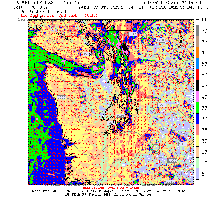
Here is a forecast from the UW WRF model (initialized at 4 PM on Saturday) for 7 AM on Sunday. Very sharp front. Large north-south pressure difference and strong southerly winds in front of it. Very sharp wind shift to westerlies behind it.


In addition, coast observations, such as at Destruction Island, indicated an unusually intense frontal passage, as shown below.

Anyway, a good example of what a strong frontal passage can do and the strengths and limits of our technology. An example of why we need more effective nowcasting--short-term diagnosis and forecasting. And one more thing...there is a lot of action predicted for this week...so keep tuned.


Can't wait to read your post on Fridays storm....sounds like the nws is keeping a close eye on it. Also, the Sunday storm looked like it might even be stronger than Fridays storm..... I sure hope these storms don't change direction or peeter out before they get here! are they just ”stronger than normal” or will they be crazy intense like the storm we had in 2006?
ReplyDeleteWhat is with the "Sunday storm"? How do you know about it, I have only read about Friday...
ReplyDeleteChris, count yourself lucky...
ReplyDeleteAny details yet on Friday? Mass & Sistek just hint at dire winds... while TV only forecasts whether it rains or not (don't they realize we only care about squalls vs. sunny showers?)
122 mph at Camp Muir and 88 mph at Mt. Baker, wow!
ReplyDeleteThanks very much for this detailed report, Cliff. Believe me, many around Puget Sound wondered what the he!! happened, with so much debris and branches down -- all within just an hour or two.
ReplyDeleteI only wonder how come the TV talking head meteorologists don't give us some of the background on weather related events such as this. It was newsworthy, but except for coverage of the tragic death of the young girl up on South Whidbey the wind event was mostly neglected.
We got pounded here in the Fraser Valley, from Surrey to Chilliwack. It even knocked over some planes at the airport. Our weather service up here in Canada didn't warn us about it either so nobody had a clue such strong winds were coming. Knocked out power to a lot of people. Under-reported, under-forecasted. Both uncalled for. Seems this time both sides of the border were sleeping in the weather department.
ReplyDeleteThese storms are over-hyped. Each day the NWS down-plays the storm. What I find odd is that they are saying tonight's storm (Tuesday night) is going to be the strongest and Friday's storm is probably going to be a lot weaker than first predicted. This seems to be the norm when reading forecasts. We tend to get too excited over the initial news.
ReplyDeleteI've lived here long enough to know not to get excited over wind storms. About 1 in 20 actually happen. And the strongest winds we get are never predicted!
A little 9 year old girl was tragically crushed by a falling tree from this storm. Very sad for the family. If you have kids, your heart skips a beat.
ReplyDeleteLove this blog. As a mountain enthusiast, back-country skier, guide & avalanche practitioner I have so much to learn about weather. This site has already answered so many questions & is becoming a 'go-to' daily part of my Internet wx routine!
ReplyDeleteThanks!
I just came in from the hot tub... love sitting under the roof and hearing the raindrops... and the wind! It's balmy out here in Bellevue (51F) and we've had gusts up to 30 mph so far, nowhere near Sunday's 44 mph.
ReplyDeleteI like this "more interesting" weather as long as the snow stays where it belongs, up above 3000'! :-)