The transition to meteorological summer in the Northwest.
Often, as in this year, it happens right after July 4th, and almost certainly by mid-July, resulting in the oft-noted statement by the meteorological cognoscenti that summer starts on July 12th in western Washington. The effect is so profound, repeatable, and abrupt that we see it clearly in the climatological data. For example, here is the climatological daily probability of precipitation for Sea-Tac airport. On July 1st, the probability of at least .01 inches is still around 30%---but then the bottom drops out, and by mid-month it is in the low teens and around August 1st below 10%. Folks, this golden time, between July 15th and August 15th, is when you should plan your outdoor weddings, barbecues, and other rain-sensitive activities. Few areas are as dry as we are during that period.

But what about this year? Today and tomorrow there will still be come showers and clouds around. Wednesday, July 4th, will be the transition day, but one that should be dry--particularly around fireworks time. And then we transition to meteorological nirvana, as the persistent trough over the NW moves offshore and ridging develops over western North America.
Let me show you.
Here are two upper level (500 hPa--roughly 18,000 ft) charts. The first is for the afternoon of July 4th and the other for Sunday afternoon. You can see a large transition from a trough off the the west coast to ridging (higher heights) over western North America and strong troughing far out in the Gulf of Alaska.


This transition in atmosphere flow is supported by most major international model systems, such as the gold-standard ECMWF forecast... as shown below.

For longer-term forecasts meteorologists depend more heavily on ensemble-forecast systems in which many forecasts are run, with the ensemble mean (average) having more skill than any particular forecast. And the variability of the ensembles gives us information about probabilities. Here are the differences between the forecast ensemble means for today versus Saturday (actually the differences of the forecast means from normal..the anomalies) for the upper level (500 hPa) flow. Blue indicates anomalous troughing, green-ridging. The ensembles concur with the transition to improved conditions.


So, get our your summer clothers, buy that sunscreen, be prepared to water your garden...summer is coming.


Now I love you.
ReplyDeleteAbout time!
ReplyDeleteAnd remember, the best week of summer is also the first week of school.
In short, it's the opposite of "A Game of Thrones."
ReplyDeleteThis is the news I was hoping for. THANKS CLIFF! Outdoor wedding July 14th is now looking good.
ReplyDeleteAnd remember, the best week of summer is also the first week of school.
ReplyDeleteNo, the last week of July is the best weather of the summer.
I agree, it's about time! I recorded 5.3 inches of rain for June (in the Bothell-Mill Creek convergence zone).
ReplyDeleteAnsel
Back in March I put in for July 19th-31st off work.
ReplyDeleteDear Mr. Mass, I am a journalism student who has a passion for weather and tornadoes. I frequently read your blog and would love a post on tornadoes. In April I drove 2,000 miles to Salina KS just to witness the power. Here is a link to see some of the pictures I took while I was there. Thanks! And its just a thought for a future blog post. I find them interesting and many people in the Northwest have no idea how or why they occur. Thanks!
ReplyDeleteseattlestormchaser.blogspot.com
Ryan
Thorvald Hjort, born in 1918 on the farm where I now live, tells on a 1977 recording how the family would travel the 7 miles to Arlington for the 4th of July parade every year. On the 5th they would begin cutting hay. The old timers knew that that was when favorable haying weather would finally kick in. After trying to to be clever and make a little June hay, I have finally listened to my elders and now I just wait. I shouldn't be surprised at the wisdom of old, but it looks once again like summer will arrive on the 5th of July.
ReplyDeleteBut none of this answers why June was so anomalously cool and wet. If we have a June with "average" weather, this "transition" is not nearly so abrupt.
ReplyDeleteOn June 23rd, we had a brief, violent thunder storm that dropped enough hail to pile up in the corners, and included odd, tornado-like winds. None of my neighbors were around to see it happen, but several of us in rural Whatcom County lost one or two tall trees among many that were not harmed. Driving to Seattle later that weekend, I noticed a swath of damaged forest on a hillside north of Burlington--live trees that now looked like pick-up-sticks strewn down a narrow section of the slope. The rest of the hillside was untouched. I'd be interested to know about the frequency and strength of tornado-like winds on the north Cascades western slopes. Thanks!
ReplyDeleteHi Cliff,
ReplyDeleteI wasn't expecting this typhoon today, Tuesday. All my corn is almost flattened. I could never make it as a farmer. The weather would drive me stark raving nuts.
We all know that summer lasts from July 5th to the Friday before Labor Day. Then we get one more week of summer on a Monday through Friday in mid-September.
ReplyDeleteCliff,
ReplyDeleteAs always, I thank you for sharing the data and explanations. The graph on the probability of .01 inches of precip falling was surprisingly interesting and validated a winter observation that i thought was my imagination.
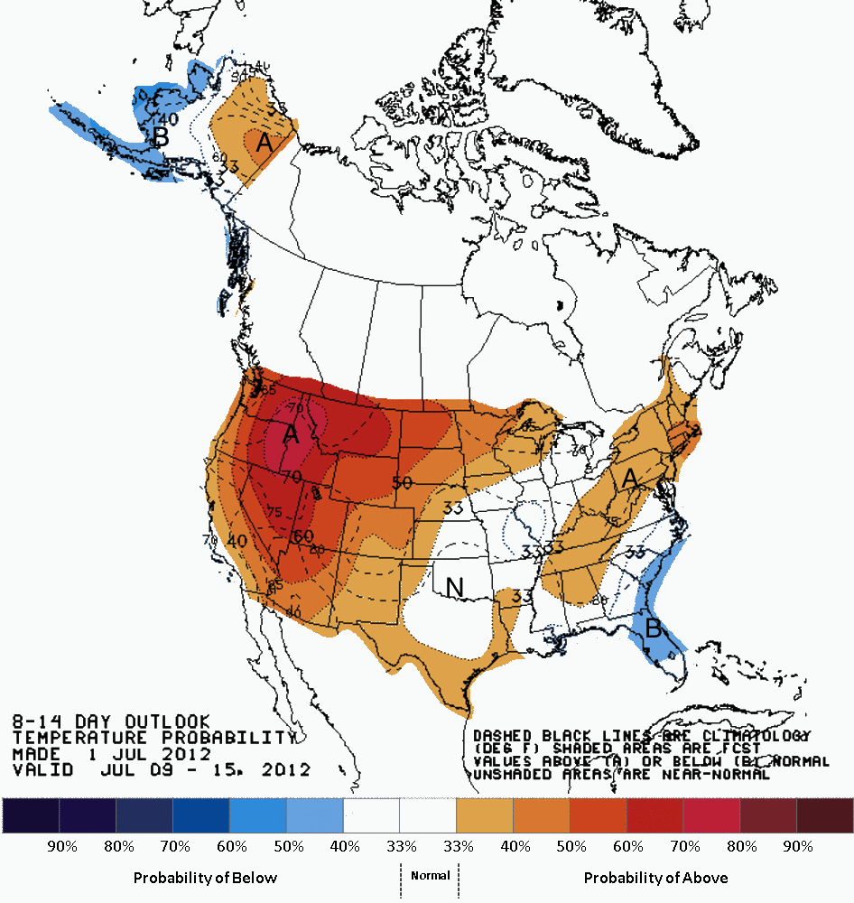
You graphs showed me another interesting and I suspect heretofore unknown weather pronominal: Apparently if you go far enough into Canada, they have no weather! See what I mean: http://1.bp.blogspot.com/-Sci6f5W3DmM/T_GzO2xkChI/AAAAAAAAHvg/zeIC7y1h-mk/s1600/814temp.new.gif
After all, computers don't lie do they?
Got a laugh out of the lack of modeling over Canada and figured there was some NOAA/NWS reason but it's still funny to see.
Please, Larry,
ReplyDeleteExplain this windstorm we had in West Seattle all day.
This is the first time in sixteen years of gardening that my corn has been flattened by a windstorm in West Seattle.
My house, admittedly, is on the hill above ALKI point. But, good gosh...
Thank you for the good news on summer. Farmers out here in central WA could use a little heat.
ReplyDeleteI was wondering if you had time to talk about the "derecho" event that happened back east? I love reading about the weather but have not heard that term before. I believe it means "right" in Espanol, and I was wondering if that's how the storms were named.
Love the sky poet pictures too--those were fabulous.
Could the fires in Colorado and elsewhere be contributing factors to the derecho and record heat in the east?
ReplyDeleteFor many years I took vacation during the last 2 weeks of July because the weather was the best of the summer. Now I know why!
ReplyDeleteOur family always plans important events around the weekend of the Bellevue Arts Festival (or is it a fair)? It's the last weekend of July, and I've read (heard?) that it's statistically the best weekend (week?) - weatherwise - of the year (assuming you like sun and heat).
ReplyDelete