As many of you know, atmospheric rivers are associated with a narrow tongue of large amounts of water vapor that move northward or northeastward out of the tropics/subtropics into the midlatitudes. When they hit our regional mountains, they can dump large amounts of precipitation.
Atmospheric rivers can be observed from weather satellites that sense atmospheric moisture. Here is an example from the current event (this image shows the water vapor content of the atmosphere from 5 AM to 5 PM on Tuesday). Lots of moisture in the tropics and you can see the plume heading

.gif)
Since the origin of this and many other atmospheric rivers that affect us is from near Hawaii, we affectionately often call them pineapple expresses.
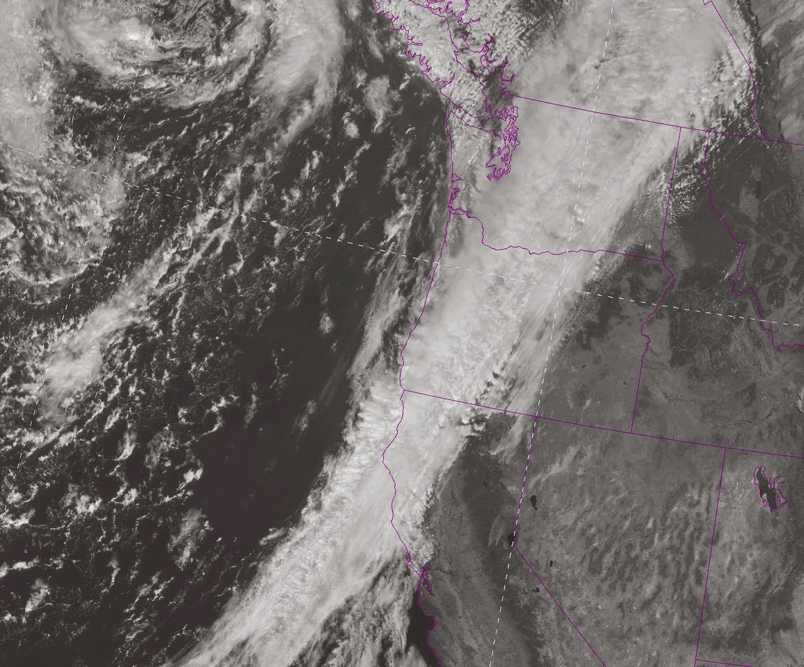
Here is a close up view of our recent pineapple express using visible satellite imagery....nice river of moisture, as evident in the clouds on Tuesday (top picture) and Wednesday (bottom picture)

Now this river has dumped serious moisture around here. Take a look at the 24h precipitation totals ending 11:29 AM on Wednesday. 2-3 inches, with heaviest amounts on the southeast side of the Olympics and in the north Cascades. 1 inch plus was observed around Puget Sound and over SW Washington.

And the 48h rainfall total from Seattle RainWatch shows a similar pattern. Nice rainshadow around Sequim! Those folks were playing golf while the rest of us were getting poured on.

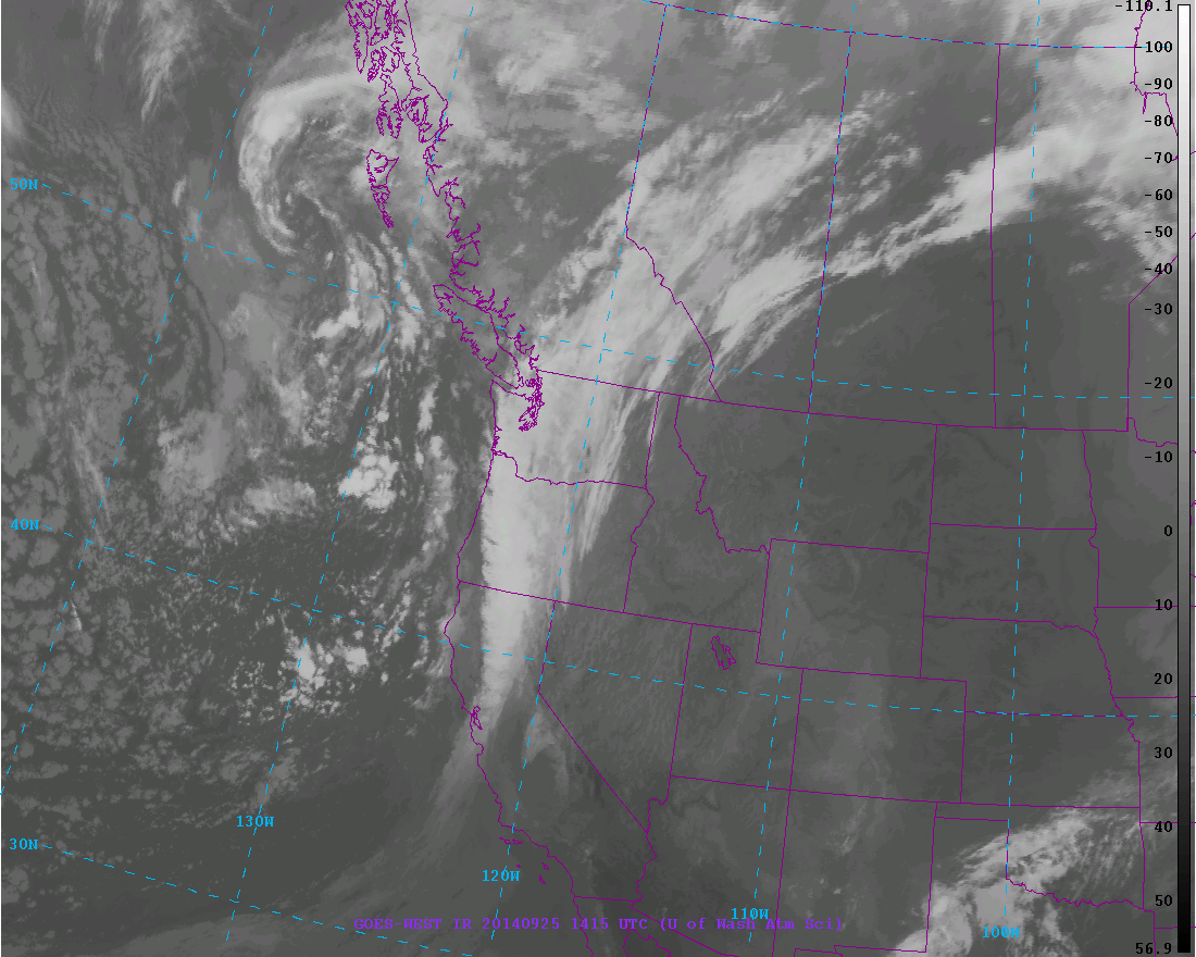
This river has been very long lived because the weather pattern has not been progressive. The river slowly slid eastward yesterday (Wed)--see graphic.
.gif)
And even this morning was along the West Coast.
A fortunate byproduct of the current atmospheric river is that heavy precipitation is hitting northern California--several locations have gotten 2-3 inches. This is a little drop in the bucket for them, but hopefully some water will get into their two main reservoirs: Trinity and Shasta.

The weekend looks mainly dry in our area, but precipitation return on Monday.
One final thing. The strong southerly flow over the West Coast had a major impact on aviation, resulting in very quick flights from San Francisco to Seattle. Some flights were making the trip in just a bit over an hour. The upper level map (300 hPa, around 35,000 ft) this morning illustrates the amazing winds. Yellow colors indicate a wind speed of more than 60 meter per second (134 miles per hour or more).


I'm sure it is (thankfully) assisting CA in getting a handle on the King Fire as well.
ReplyDelete