A stunning transition is going to happen on Sunday.
Precipitation over the Northwest will end.
And we might not see another drop for over a week. Maybe more. An unusual occurrence in December. You will see sun....but as we will note there is a threat: low clouds and fog.
Let's take a look at the forecast upper level (500 hPa) maps this week from the NOAA GFS model...and be prepared to have your jaw drop!
At 10 AM Sunday, a trough has moved passed us and a ridge of high pressure has started to build in the eastern Pacific. The rain will be ending at this time.
One day later, the eastern Pacific ridge has amplified. We are totally dry.
The ridging increases by Wednesday.... the ridge is HUGE and extends up to Alaska.
Saturday at 10 AM. The ridge is still there, but a bit weaker. Plenty strong enough to keep us dry.
It revs up even more on Sunday!
And it is STILL THERE on Tuesday 12/12.
And it continues after that for several more days.
Folks...we are talking about a total shut down of precipitation over us for 1-1.5 weeks. In December.
OK, I know what you are saying. What do the ensemble systems using many runs show? Here is the anomaly (difference from normal) of 500 hPa heights for the mean of the NOAA GFS ensemble system for 4 PM Thursday. Much higher heights than normal (high pressure) over the NE Pacific and our area. BIG positive (high pressure) anomaly.
The forecast a week later IS THE SAME THING, just a little weaker. Wow.
Next lets look at the precipitation forecasts from the vaunted European Center ensemble. There are 51 different forecasts in this ensemble system.
No precipitation for virtually all of them for Dec 5-9th, and then nearly nothing through December 12th. After that, a few members have some light rain--very light rain. And yes, some rain this weekend.
So we should be confidence in the forecast: after the rain stops Sunday morning it will be absent for a week, and maybe more.
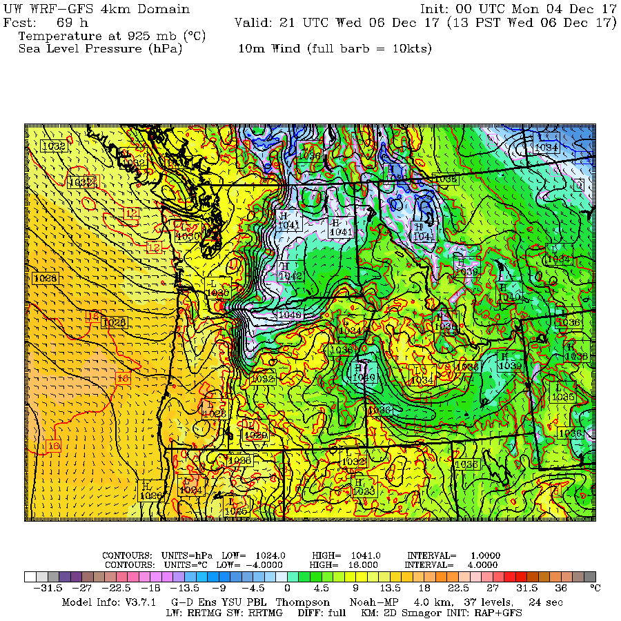
There will be sun ... plenty of it. But after a few days of high pressure there is a good chance that low clouds and fog may form, at least in the mornings.
Why? Because clear skies from the high pressure will allow the earth to radiate into space, resulting in low-level cooling. That cooling can bring the air near the surface down to saturation, producing fog/low-clouds. The weak winds associated with the high pressure won't mix it out. And the sun is so weak now, it will have a hard time burning off the low clouds. We will see.
And a major tip: if the low clouds form you can easily escape them and enjoy sun by going up...to an elevated park (e.g., Cougar Mt) or into the Cascades/Olympics. Leaves will be nice and dry...making raking easy and fun.