First, the big picture. Below is the forecast precipitation over the next 7 days. Precipitation totals are amazing, teaching 10 inches near the crests of the Cascades and Olympics.
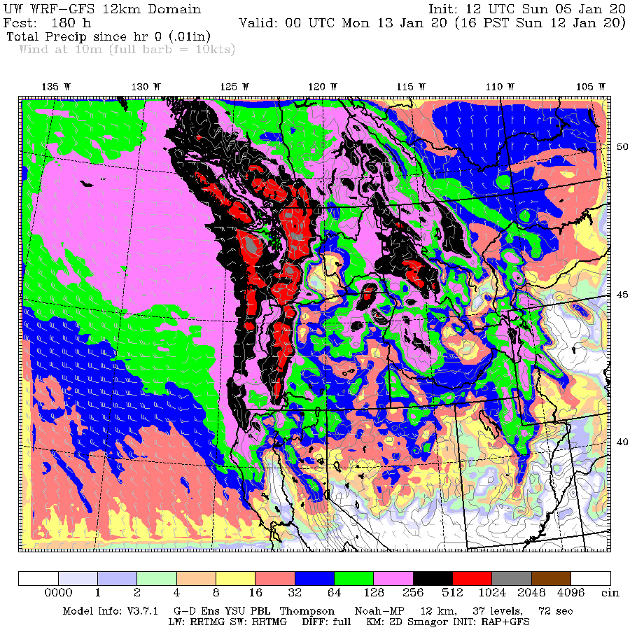
The snowfall total over Washington high terrain is amazing (bel0w), reaching about 4 feet near the crest by next Saturday afternoon. Snow descends down to lower elevations in eastern WA and over Whatcom County.

Now, the details. Here are the ensemble forecasts (forecast model run many times) from the National Weather Service GEFS system for precipitation at Stampede Pass at 4000 ft on the eastern side of the Cascade crest. The gray lines are from the many forecasts, with the black line being the average. But the ensemble is at relatively low resolution (~35 km grid spacing). A higher resolution simulation of the same system is also shown (blue), and brings much more. The ensembles have substantial precipitation tonight and tomorrow, with steady accumulation through January 13th. The high resolution simulation, has much more--around 8 inches. The lack of variability in the ensembles suggests great confidence in the wet forecast.


So by next weekend, our ski season will be set, and the water supply in much better shape (although the last few weeks have been good). Seattle's reservoirs are already at above-normal levels. I can image what they will be like in a week.
But there is more. Much more. Very cold air will be moving southward into Washington next Sunday (see sea level pressure and low-level temperature forecast for 4 PM next Sunday). Plenty cold enough for snow. All that is needed is moisture. Gasoline without the match. Will watch it carefully.


I could really use a nice, hefty dose of snow here in the lowlands. For some reason, I really miss it, this Winter.
ReplyDeleteCliff
ReplyDelete1 AM--you are up late! The NWS has been advertising a cool down after Sunday--maybe snow down low?
Great news for our region!
ReplyDeleteI read you loud and clear!
ReplyDeleteAlso headed to store to stock up on bread and milk!
Pummel me baaaaaaaby! Pow for all! Let's goooooooo.
ReplyDeleteThis is one of the reasons why I moved here, you get a winter which is both rainy and snowy, but without the tradeoff of freezing your heiny off.
ReplyDeleteI would argue that there isn't anything that even remotely resembles winter in the PNW if you're below 2500 or so feet. The lack of seasons is one of the things I dislike most about this area.
DeletePortions of WA east of the Cascades below 2000' have substantially better-defined seasons.
DeleteI like the option of being able to drive to my snow. Best of both worlds.
DeleteWinter consists of about 6 weeks of possible temps below freezing and a chance at some snow. That's usually January through mid February. November is cool with rain, December is cold with rain. Then after our 6 weeks of winter, we are back in the cold with rain as the days get longer.
DeleteWhen we moved to southeastern Washington State thirty-five years ago, the locals told us that winters were mild and the area usually didn't get that much snow, if it got any at all -- a decided improvement over the place we had just come from.
DeleteThat summer, it was blazing hot and continued to be very warm well in to September. We were fine with that.
But then in late November, the temperature dropped like a rock and it began snowing. It snowed and it snowed and it snowed, and then it snowed some more. The snow didn't stop coming until mid-February, when the sun finally came out.
Seeing the sun again after such a harsh dreary winter was like being reborn.
I've lived in Whatcom County for a little over a decade and have experience major cold and snow from late November through late February. Microclimates abound in the PNW.
DeleteCliff, what snow ratios do you use? 10 to 1 or Kuchera? Kuchera may be more representative as we move into colder regime (especially aloft) starting this weekend. Jay Albrecht
ReplyDeleteim at lake roesiger elevation at 801 feet will i get more snow or any at all the temps for highs are gonna be 28 and low 19
ReplyDeleteI'm in the same area. Been wondering too what we should really be expecting. Lots of conflicting reports.
Deleteyes this last winter we got around 4 feet that's insane lets just say it was the storm and the lake lol
Deletenah look at the ensembles
ReplyDeleteI think that you meteorologist are to scared to put your full answer out to face hate because if you post saying there is going to be snow and it doesn't snow you're nervous to get hated on because you guys were wrong all are meteorologist need to put a plan together and have people get supplies and make sure they get what they need before this storm hits last year was a train wreck
ReplyDeleteweather.com has been forecasting some snow for Sunday. NOAA seems to be disagreeing for now. Just wondering: which models is weather.com based on?
ReplyDeleteTWC definitely uses a sophisticated blend of models, probably Euro GFS are most heavily weighted I'm assuming.
DeleteThank you for the post...I was wondering when you would blog about this. After spending 7 days stuck in our house at 1000ft elevation in North Bend while my husband was out of town(with 3 small children), I am happy to be prepared. Thankfully last year did not involve power outages. We were fine, just stir crazy. Other than quarter inch of snow in October...I am actually surprised we have not seen snow yet here...
ReplyDeleteThis does not sound like what I think you wanted to say
ReplyDelete"fears of lack of drought this summer will be far less"
Am I reading that last temp chart correctly? -14c for the seattle/puget sound area (7 degrees f)?
ReplyDeleteThat chart says "Temperature at 925mb" which is approximately 2500 feet in elevation.
DeleteI'm seeing the same thing, but that can't be right, all the long term forecasts I've seen barely have Seattle below 0C.
DeleteThat's at 925mb (~2500').
DeleteSo, I believe you (saying it's 2500'), but the chart says sea level pressure. I'm generally curious how you can tell its 2500' just by the pressure of 925mb?
DeleteWhat's 0ft altitude measured at in mb/pressure? I know pressure changes constantly at different altitudes, so am just confused. Thanks!
you're wrong dave check out scott sistek im a meteorologist and the mb is showing -4 for issaquah and seattle at 2 later in this month the long range is wrong
DeleteMean sea-level pressure is ~1013mb. Use the barometric formula to relate pressure to altitude: https://en.wikipedia.org/wiki/Barometric_formula.
Delete"Sea Level Pressure" refers to the pressure values displayed on the graphic. They have been corrected relative to mean sea-level pressure.
DeleteWeather.com is owned by IBM. Their models may very well be proprietary.
ReplyDeleteWeather.com says 40°F for Walla Walla next Sunday afternoon while the model in this post predicts -13.5°C (8°F). That's a BIG difference. I guess we'll just have to wait and see who's in the know...
ReplyDeletethe game of chicken is back on im right
DeleteWeather.com was initially launched by the owners of The Weather Channel,
ReplyDeleteLandmark Communications. Landmark sold The Weather Channel to NBC, which had been bought by Comcast earlier. I believe that the upcoming takeover of NBC/Universal/ Comcast by AT&T Time Warner has been or will be approved by the government.
Scott K - that temperature is at 925 millibars (or about 2,500' based on my non-scientific Google research). Probably about 10-15 degrees warmer at surface.
ReplyDeleteI measured ~0.41MJ/m^2 (0.11kWh/m^2) of radiant exposure in NW Bellingham today. This is the lowest such value I have observed this season, so far. There were 6hr55min of measurable daylight with a max irradiance of 35W/m^2.
ReplyDeleteIf you want the real weather models use the following=
ReplyDeletetropicaltibits.com or weather.us
Tuesday morning and it's raining on Snoqualmie and Stevens Passes.
ReplyDelete"fears of lack of drought this summer will be far less." : I think you mean fear of drought ?
ReplyDeletefears of lack of drought this summer will be far less.
ReplyDeleteWhat????
john i'm friends with scott sistek i know what i'm hearing and talking about what i just said was nothing about me or outside thanks because a plan is needed
ReplyDeleteSnow certainly gets people talking, Cliff! I love snow when people can stay home for a day with most everything being closed. It's just enough winter for me as it brings back childhood memories of fun times.
ReplyDeleteI was just reading more about the fires in Australia--amazing! The New York Times opinion talked about climate change, similarities with CA in being set up to burn, an arson problem and an improved fire warning system.
The fires Down Under had nothing to do with Climate change, and everything to do with a criminal conspiracy via nationwide arson attacks.
DeleteThe last model used that predicted 20" turned out a whopping 2" during the period.
ReplyDelete