As predicted, a midlatitude cyclone is rapidly developing west of our shores, and the satellite imagery is stunning.
Consider an infrared satellite image taken around 6 PM by the NOAA GOES-West satellite located 35,000 km above the equator (see below). Whiter clouds are cooler and higher.
Look close and you can see the swirl of frontal clouds into the low.

A close-up view of the low center shows cold air shower clouds (the mottled elements to the southwest) circling around the low. (see close-up below).

Even more dramatic perhaps is water vapor satellite imagery that senses water vapor instead of clouds (below). You can even see dry air circulating into the low from the southwest (darker area).


Wind speed (mph) at 4 AM. Courtesy of WeatherBell, Inc.
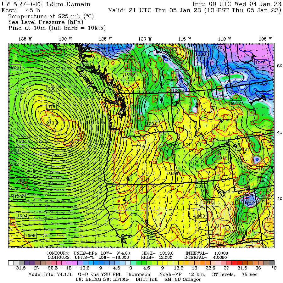
As the storm moves off our coast Thursday afternoon (see the forecast for 1 PM below), the huge difference in sea level pressure (higher inland, much lower offshore) will result in our air being accelerated to the ocean.

And finally, there are the forecast significant wave heights for Thursday morning at 2 AM PST. Monster waves exceeding 30 feet will reach the northern CA and southern Oregon coasts. Beautiful but deadly.


The swirling thing in the gulf of Alaska looks almost as big
ReplyDeleteThanks, Cliff! Excited for the easterly wind gusts in North Bend tomorrow.
ReplyDeleteNot me. After the recent ice storm and wind storm power outages, I really don't want to lose power again.
DeleteBoy, the NYT is connecting this with climate change. Poor climate change gets blamed when it shouldn't - crying wolf is not a good strategy.
ReplyDeleteWell, to be specific it is UCLA climate scientist Dr. Daniel Swain that is connecting these storms to climate change by referencing increased atmospheric moisture. You can maybe fault the NYT with potentially leading readers with the "is climate change making [atmospheric river] events more extreme?" subheader, but they do quote Dr. Swain as emphasizing the potential for impacts. Basically, to me the article reads that a warmer atmosphere holds more moisture, but how that impacts the likelihood of rapid-succession storms is still not completely understood. The best estimate they provide (in a referenced article) is that the chances for "monthlong statewide storms" goes from 1:50 to 1:30 if average global temps raise by 1.8F based on an article by Huang and Swain. In the end, I don't think the media always gets it right, but I'd argue that the NYT does it's due diligence better than others.
DeleteDaniel Swain has a tendency to provide a certain viewpoint...and the media know it. Midlatitude cyclones are not being enhanced by GW..that is solid. Atmospheric river will intensity as the planet warms...particularly by the end of the century.
DeleteThe guy loves weather! Thanks cliff
ReplyDeleteIt comes from 'bomb cyclone' or 'bombogenesis' which is an area of low pressure that drop by 24 millibars (.71") within 24 hours. The term originated at MIT in 1980.
ReplyDeleteNot even your detractors can deny your passion, Cliff. Good on ya!
ReplyDeleteSure hope CA doesn't get hit with the latest forecasts out of the National Weather Service. I don't remember them ever becoming overly alarmed about most upcoming weather events, but today they're really sounding worried for most of the entire state. Widespread flooding, possible washouts of major roads (particularly I - 5) and all kinds of mudslides.
ReplyDeleteI believe parts of the state already had by an earlier storm last week if not mistaken.
Deletea rapidly intensifying cyclone is also called explosively deepening. When it deeps at a sufficiently large rate (roughly 24 hPa in 24 hr) it is termed a bomb. That is the terminology that has become accepted....sorry.
ReplyDeleteWhy aren't we getting a piece of the action? Shouldn't we be getting some of the rain?
ReplyDeleteYes, I noticed that this terminology ("bomb cyclone") seems quite new. It does seem a bit overdramatic. Something that the popular media would invent.
ReplyDeleteThere's been some wonderfully warm south-east winds tonight, thanks for explaining why.
ReplyDeleteIn the wind-speed picture, there is a lot of "wrinkling" to the south of the low. Is this a physical phenomenon, or a measurement or interpolation artifact?
ReplyDelete