There is a lot of weather happening in the eastern Pacific.
First, an unusually powerful low-pressure center, with intense rain and hurricane-force winds, is hitting northwestern Alaska (see surface pressure map at 11 AM Saturday). A deep, 963 hPa low center. This storm developed out of Typhoon Merbok, which underwent extratropical transition: converting from a tropical storm to a midlatitude storm.
This storm will weaken rapidly today as it moves into the Arctic.
And then there is the upcoming California event. By this morning at 5 AM, a very significant low-pressure center will develop west of the Bay Area and will hang out there for a few days.
As a result, there will be relatively heavy precipitation over northern CA, particularly for this time of the year: 1-2 inches in some places (the total precipitation through Wednesday morning is shown below).
Such an event is very well timed to lessen the chances of autumn wildfires in the area and to damp down the fires that are burning today. But Washington State will be relatively dry.
The interesting thing is that the Alaska Low, the previous Typhoon Merbok, and the California low/rain may well be all connected.
The typhoon moving northward interacted with the midlatitude jet stream...the current of strong winds moving west to east. Near the jet stream, the typhoon joined forces with a weaker low-pressure area to create the superstorm that hit Alaska.
The superstorm pushed warm air in front of it, helping create a ridge of high pressure off our shores, which in turn helped to produce a low off California.
Sort of like tugging a long rope, producing all kinds of waves downstream (see image below).
Let me show you the developing situation!
Here is an upper-level map (500 hPa, about 18,000 ft) Saturday night, with the color indicating the difference from normal (purple and blue means lower pressures/heights than normal, red/orange is above normal--ridges or highs). You can see the very strong low approaching Alaska and a ridge of high pressure to its east.
But by this morning (Sunday), the low off California has revved up and is just as unusual (if not more so) than the Alaska low yesterday. On Sunday, the Alaska storm was rapidly declining.
I could show you more technical diagnoses of the connection, but perhaps that would be overkill.
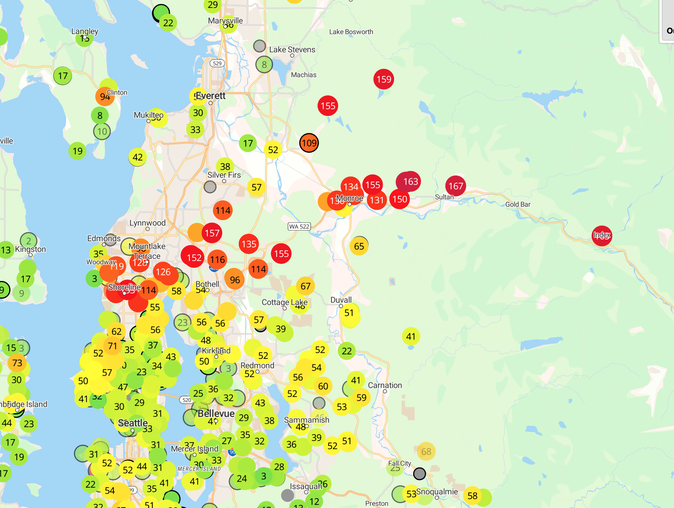
There is a problem with the low going south of us....on the north side of the low there is easterly (from the east) winds, and such winds will temporarily bring back some smoke into western Washington (see the forecast below for 3 PM tomorrow).
Sorry. But most of the smoke will be high elevation and our air quality should stay decent.
I will be giving a talk in Portland at OMSI on the great Columbus Day Storm and Modern Weather Prediction Technology on September 24 at 10 AM (this is free). Professor Wolf Read of Simon Fraser University will be joining me. The 60th anniversary of the greatest storm to hit the NW in over a century will be on October 12.
For more information:
Reminder: I will be teaching ATMS Atmospheric Sciences 101 this fall.
Like last year, I am teaching atmospheric sciences 101: a general introduction to weather and climate, this fall. You can learn more about the class on the class website. I talk about everything from the basics of the atmosphere to weather prediction, thunderstorms, hurricanes, and local weather to global warming and climate.
I will be teaching the class in person at the UW, but will also make it available over zoom. Thus, folks can take it remotely.
If you are over 60, you can take the class through the ACCESS program for a very nominal charge (something like $15). Last year I had over 100 folks do so.
If you are a UW student looking to learn about weather or a non-student interested in the topic, I welcome you to join me this fall. My first class is on September 28th.