February 03, 2023

Lowest Windchill in U.S. History

Mount Washington, New Hampshire is well known to most meteorologists. 

A mountain-top weather station there is famous for possessing the highest near-surface wind speed ever recorded in the U.S.:  231 mph.

But today, the Mount Washington Observatory has broken another record:  the lowest windchill temperature ever recorded in the U.S.

Reminder:  windchill temperature combines wind and temperature to provide a measure of how much heat you are losing when you are outside.  Lower windchill temperature means a faster loss of heat from your skin.

If there is no wind, temperature and windchill temperature are the same.  But as wind speed increases, the windchill temperature drops below the effective temperature, since wind increases the loss of heat from your skin.    

The previous U.S. windchill record was -100F observed at McGrath Alaska.  That record has now been replaced by -107F at Mount Washington today, the combination of a temperature of -46F and windspeed of 95 mph (see below)


Potentially, the windchill may decline even further during the next few hours.

Windchills below -98F are not even shown on the official National Weather Service windchill chart (below).  At a windchill below -100F, frostbite occurs on exposed skin with 1-3 minutes.


Taking a broader view, the current temperatures over the Northeast US are stunning, with teens over coastal Long Island to around -20F over NE New York.


Several daily records should be broken for record cold during the next day.

Coupled with powerful winds, the windchills across the Northeast range from -50F over Maine and -11F over coastal New England, to -20/-30F over upstate NY.  


The Northwest had a blustery day today, and some showers and typical temperatures are expected this weekend.  Yawn.

February 01, 2023

The Atmosphere Is About to Get "Unstuck" in Our Neighborhood

 The last week has been a bit boring for West Coast meteorologists.

The reason?  A persistent upper-level ridge of high pressure over the eastern Pacific, something illustrated by the upper-level (500-hPa) chart this morning (see below). Red and brown indicate areas of high pressure/high heights.   This pattern has been "locked in", something known as a "blocking pattern" in the weather biz.


But the lock is about to be opened.    Before I show this, let me note that our snowpack has been slowly declining to a bit below normal (see the current situation below).  Not a serious deficiency and one that should be addressed during the next week or so.


The forecasts you are about to see are based on the truly excellent Europe Cener ensemble system of many forecasts.  The average or mean of the many (51) runs is shown.

By Friday morning, the protecting ridge will move inland, and an energetic trough of lower pressure (green color) will be approaching our coast (see below).

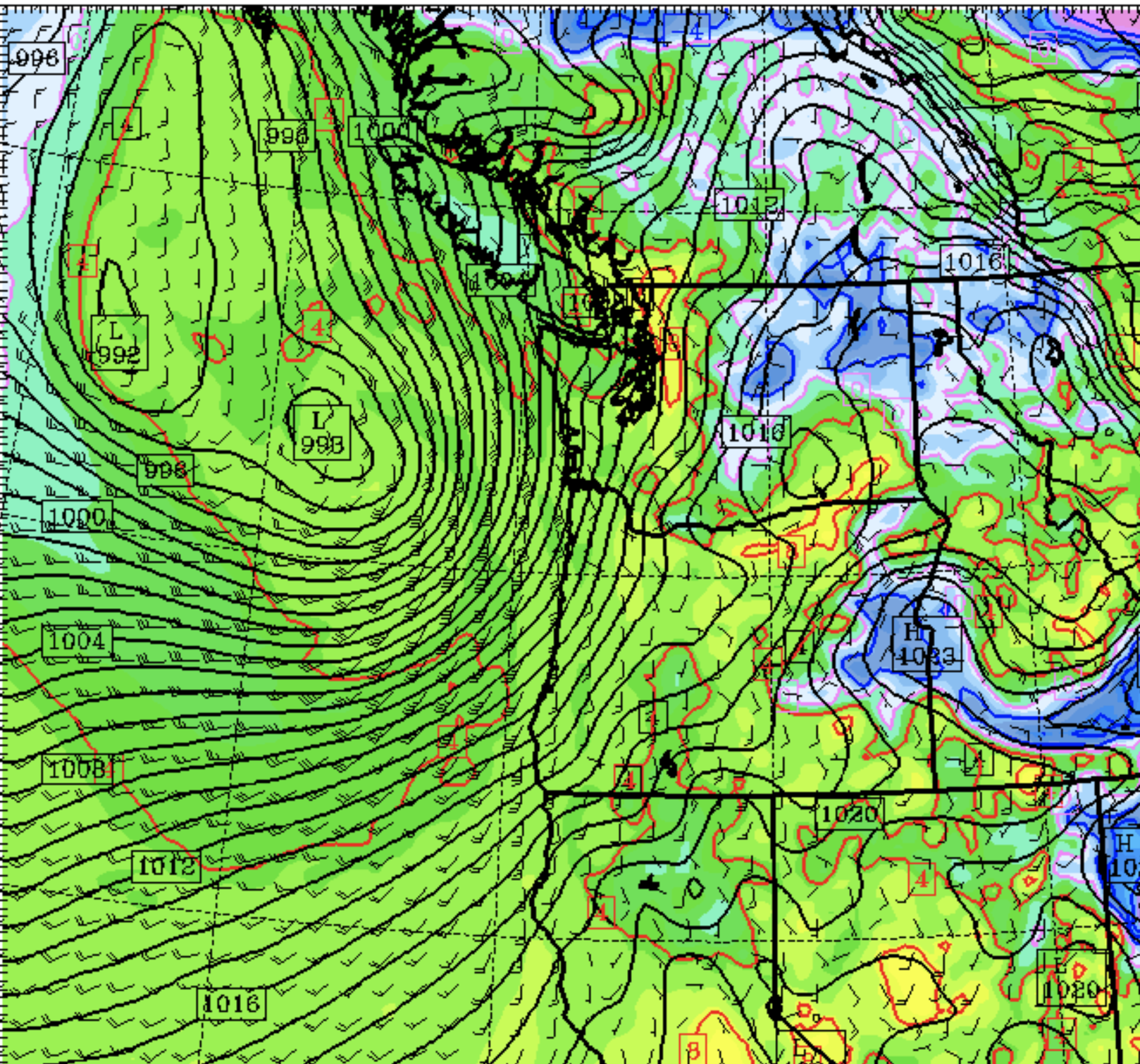
This upper trough will be associated with a nice low center, which will bring strong winds to the Oregon/Washington coast (see sea level pressure forecast for Friday AM below).


The latest Seattle WindWatch wind forecast for Seattle, which includes both the high-resolution prediction and a collection (ensemble) of many other forecasts suggests a modest blow Friday afternoon, with gusts exceeding 30 mph.  Not the end of the world.  And yes, there will be rain with this system.


On Sunday morning, another trough moves in...one that will influence the entire West Coast.  More refill for California.


And then fast forwarding to Monday, another trough approaches, with a strong jet stream following.


Nothing particularly severe this week, but it will be nice to get a little rain and wind again.  This IS the Pacific Northwest!


Tens of Thousands Have Lost Power as a Strong Cyclone Makes Landfall

As the models predicted, a strong storm with powerful winds is moving across our region, and nearly 100,000 customers are without power as I...