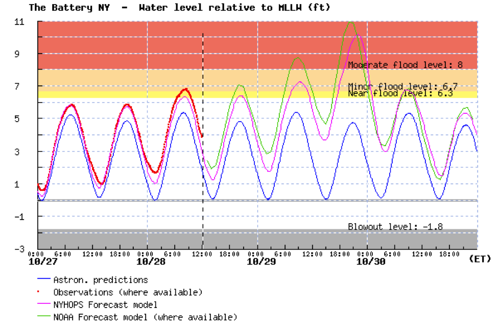
And it was much more than a good weather prediction. The National Weather Service's water level forecasts were stunningly accurate, as was its effectiveness in communicating the threat to the public and governmental authorities.

The most populated metropolitan area in the U.S, with a population of approximately 20 million people and located on a vulnerable coastline, is hit by a category 1 hurricane at high tide. Amazingly, the death toll was limited to about 100 people, with most of those aware of the storm and deliberately putting themselves into harm's way. Just stunning.

What has changed? What have we learned that has enabled this forecasting tour de force? And did this event reveal current or future problems for U.S. weather prediction?
Lets start with the extraordinary forecast of the best global forecasting system: the European Center For Medium Range Forecasting.
Here is the verification at 5 PM on October 29th.


But by 5.5 days before landfall, the prediction was nearly perfect in placement...and it held on to that solution until landfall.

The U.S. model, the GFS, initially took the storm off to the east, but by 3-4 days before landfall it had the correct track. The National Hurricane Center staff, viewing all sources of guidance, had an excellent forecast available days before landfall. Here is the verification, compared to their performance of previous hurricanes. For the last two days before landfall their track error was less than 50 nautical miles, far better than the average track error for 2007-11, and the intensity error was 12 knots or less for entire period shown. Very impressive.


Now if this was a one-off success, one could brush it off as luck. But objective verification scores suggest that during the past decade weather prediction has greatly improved...particularly in the medium ranges (4-8 days).
The following graphic, based on the performance of the European Center Model, says it all. This shows the skill about halfway up in the atmosphere with higher values (closer to 100%) being better. Shown is the skill for 10 days (yellow), 7 days (green), 5 days (red), and 3 days (blue). The top line of each color is the Northern Hemisphere and the bottom the Southern Hemisphere.
You notice that forecasts have improved at all projections, with the greatest progress for the 7 day prediction. But what is perhaps most stunning is that the difference between the northern and southern hemispheric prediction skill has gone from large (NH better) to negligible. There are a lot more surface and upper air reports in the NH. What is equalizing the skill? We know the answer: satellite data.

 |
| Six-hour coverage of (a) polar orbiter soundings and (b) geostationary satellite water vapor/cloud track winds |
1. The U.S. model was clearly inferior to the European Center's prediction, particularly 4-8 days out. Why? Our model has less resolution, uses less data, and has other differences. We need to figure this out. Quickly.
2. The U.S. high-resolution models did not do as well as the global (lower resolution) models. Specifically, they tended to greatly over-intensity Sandy over the ocean. The HWRF model, upon which a large amount of money has been spent, was a notable poor performer. There is an essential flaw in our high-resolution models that must be addressed (some scientist think the problem is in the cumulus parameterizations...how the model deals with unresolved convection).
3. Clearly, satellite data is very important, and it now appears there will be a significant gap in polar orbiter satellite coverage in a few years. We need to objectively quantify the impacts of losing this satellite and figure best patches (e.g., better data assimilation approaches) until a new one can be launched.

Sandy was a meteorological triumph, but let us not forget the custom of the ancient Romans, when a successful general would enter Rome after a great victory. A slave would accompany him on his chariot, holding a golden wreath above the hero's head, whispering in his ear "Respice te, hominem te memento" ("Look behind you, remember you are only a man"). We have done well, but should not rest on our laurels. The U.S. weather prediction enterprise can do better, much better.


I am all for patting yourselves on the back with how spot on THIS forecast was, but let us not forget the ones, even recent, where little was spot on. It WILL hopefully always get a little bit better, but this seems more of a case where everyone just hit the bullseye across the board. Not meaning to demean the profession, far from it, just that batting 1.000 for one storm does not a trend make.
ReplyDeleteCliff,
ReplyDeleteThank you for another informative blog. I'm a professional scientist but a definite amateur in the atmospheric sciences. I try to keep up with your postings and appreciate your perspective as well as your passion for communicating it to the rest of us!