You heard of
heat waves, an extended period of much above normal temperatures.
But tomorrow we will have something else, what I will call a
HEAT STORM, a short pulse of torrid temperatures.
The average high right now at Seattle Tacoma Airport is 57F. Tomorrow might well get into the lower 80s...and perhaps higher. Roughly 25F above normal, with daily records falling all over the place.
But there is a range of forecasts--let's look at them.
The UW highest resolution forecast model--the raw prediction--is very warm.
At 8 AM tomorrow (Thursday). The warmest temperatures are on the western slopes of the Cascades and coastal mountains, consistent with easterly (offshore) flow.
By 11 AM, temperatures in those areas are ABOVE 80F (white)
Much above 80F temperatures are widespread over western WA at 5 PM.
We can plot the temperatures and winds at Seattle Tacoma Airport produced by the model,which is called
meteogram, with time in UTC (GMT).
Unbelievably warm, withtemperatures surge to around 90F! The winds show this heat storm is associated with a pulse of easterly flow.
Possibly the best predictor of local temperatures in such situations is probcast (www.probcast.com), a UW project that does sophisticated statistical post-processing of an ensemble of many local weather forecasts. It is going for 84F.
The Weather Channel has excellent forecasts, but does not have the advantage of the uber-high resolution predictions available locally. There forecast is more conservative (79F):
The National Weather Service? 82F
How about the National Weather Service short-range ensemble (SREF)? Lots of higher resolution forecasts (see below). Looks like roughly 81F.
The bottom line is that many locations will see temperatures climbing into the low 80s tomorrow...which is really quite extraordinary for early April. We should surpass some daily records.
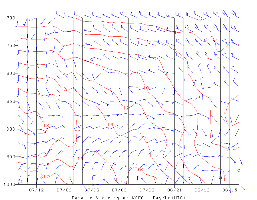
The cause of all this warmth? A high amplitude ridge or area of high pressure over the West Coast (see upper level map at 5 AM Thursday).
This configuration brings in warm air aloft, as well as low-level easterly flow with reduces cool marine influences and forces downslope warming.
As I have discussed several times, there is no reason to expect that this ridge or high pressure has anything to do with global warming, or that anthropogenic (human-caused) warming will cause more ridges like this. In fact, climate models suggest just the opposite: increasing greenhouse gases will lessen the amplitude of such waves. Perhaps global warming is contributing 1-2F of a temperature anomaly of 20-30F.