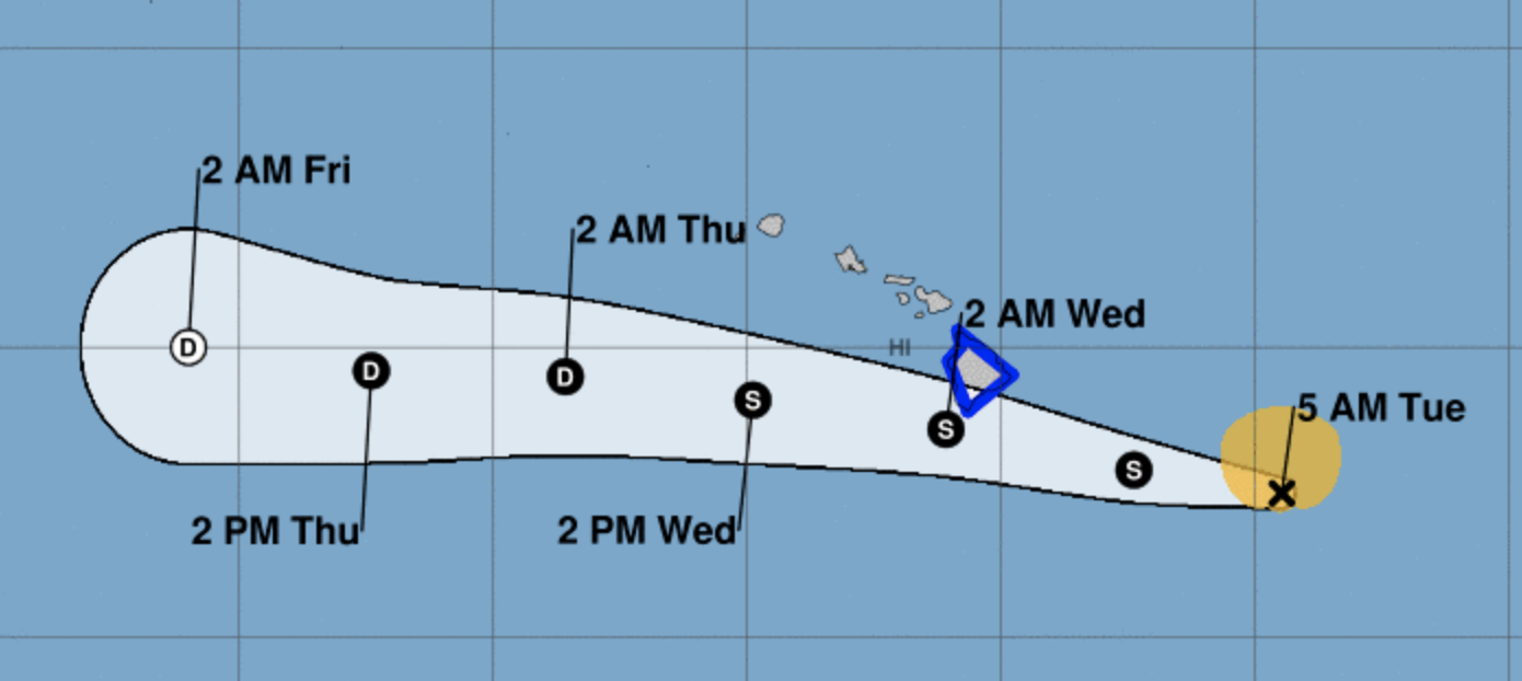
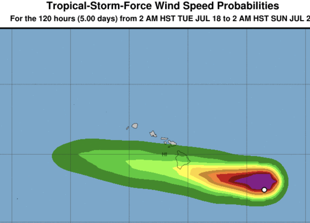
A weakening tropical storm is approaching Hawaii, where substantial precipitation and gusty winds are expected. Tropical Storm Calvin now has maximum sustained winds of 45 mph.
The infrared satellite image this morning clearly shows the storm east of the big island. You will note an absence of a distinct eye and rather amorphous rainbands.



Below are the winds during Wednesday evening, with yellow colors indicating the strongest winds (followed by green and blue). You will also notice the wind "dead zone" to the lee (southwest) of the Big Island.

.png)
.png)


The precipitation totals for the entire event are shown below. 4-7 inches on the windward (eastern) side of the Big Island. Wet on the eastern side of Maui as well.
.png)
Calvin has been rapidly weakening the past few days. Why?
The answer is cool water. Hurricane/tropical storms require warm water to strengthen, generally greater than 28C (82F).
Below are the latest sea surface temperatures around Hawaii. Temperatures east of Hawaii are now below 26C. Not a healthy place for a tropical storm! No wonder Calvin is declining.
.png)
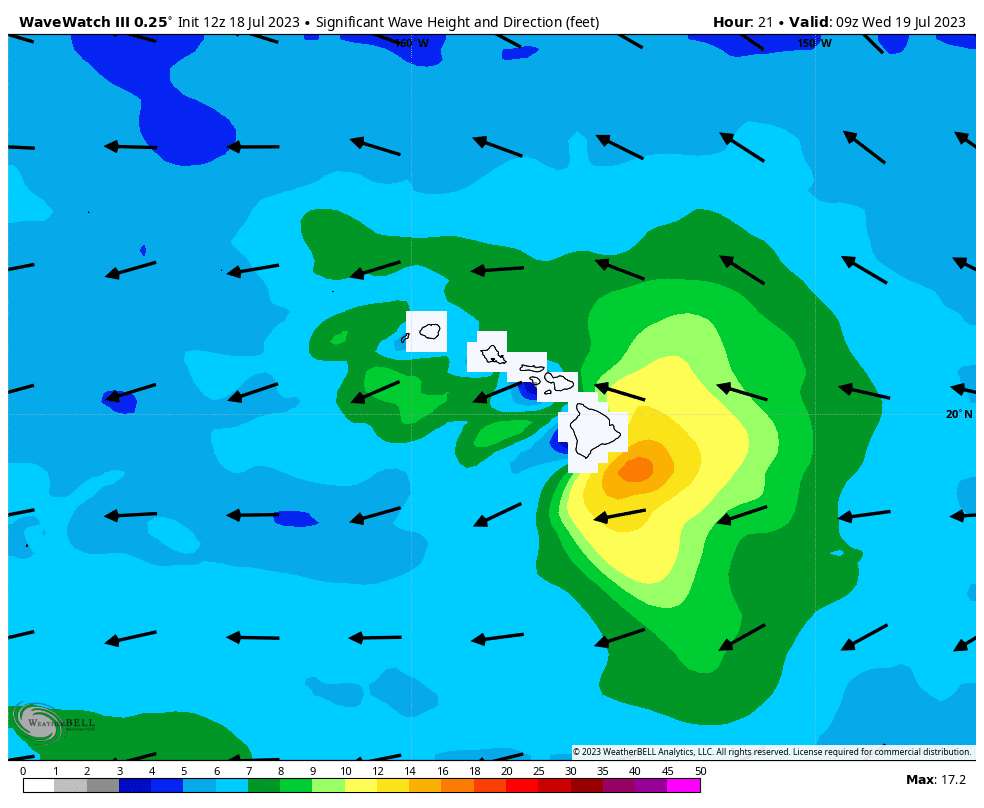
Finally, the winds of Calvin are still strong enough to produce some impressive waves on the southwest side of the Big Island, with some waves getting to 12-18 ft. Some good surfing opportunities!