
Believe it or Not!
On average, we are now past the worst weather of the winter! Shocking but true. And in the second segment of my podcast, I tell you why.
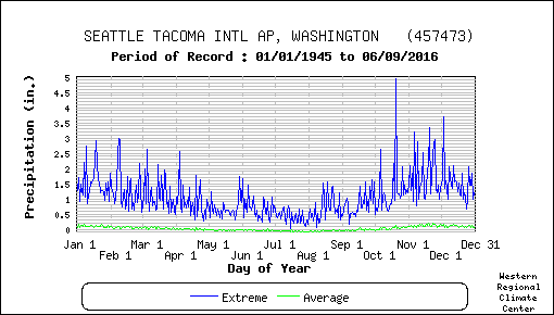
Take a look at the daily probability of experiencing .25 inches or more in Seattle (below). Mid to late November is the time of the year when you have best chance to "enjoy" such a wet day and the probabilities actually drop in December and January.

There is a reason for this situation and it has to do with the strength and position of the jet stream. Check my podcast to find out.
And the podcast also includes the forecast for this week, which will include unusually dry, sunny conditions and powerful easterly flow on the western side of the Cascades.
Support the podcast on Patreon and get exclusive content.
Your support helps keep the podcast free of ads
___________________________________________________________________
KNKX-Related Blogs:KNKX, James Madison and Mobs
KNKX and the Undermining of American Freedom
Firing from KNKX


Believe, that's for sure. Between the rain shadow and now what seems to be the start of a weeks long Triple R, it seems the weather is going to be solidly locked on "boring" mode. Most people prefer boring anyway, so its OK.
ReplyDeleteI flew in from Sacramento this morning and it was amazing how thin the fog was in many cases tree tops and tops of tall buildings were poking out of it. There was a patchy od denser fog near sea tac and i was amazed the plane could land the plane didnt enter the fog until about 20 seconds before landing.
ReplyDeleteI have a question. Please reply back in blog or podcast. The question is: in our region ( northwest) we do get ridges of high pressure either in summer or winter. When this ridge start amplifying, the low lever flow turns easterly. I think the low level flow first turns northeast and then east.
ReplyDeleteI want to know that what causes the low level flow to turn easterly, when 500MB ridge moves to our region and amplifies ?