During the last week, we have seen a number of beautiful examples of mid-level cumulus convection, technically known as altocumulus castellanus, or less technically known as castles in the sky.
The sky on Saturday evening in north Seattle was stunning.
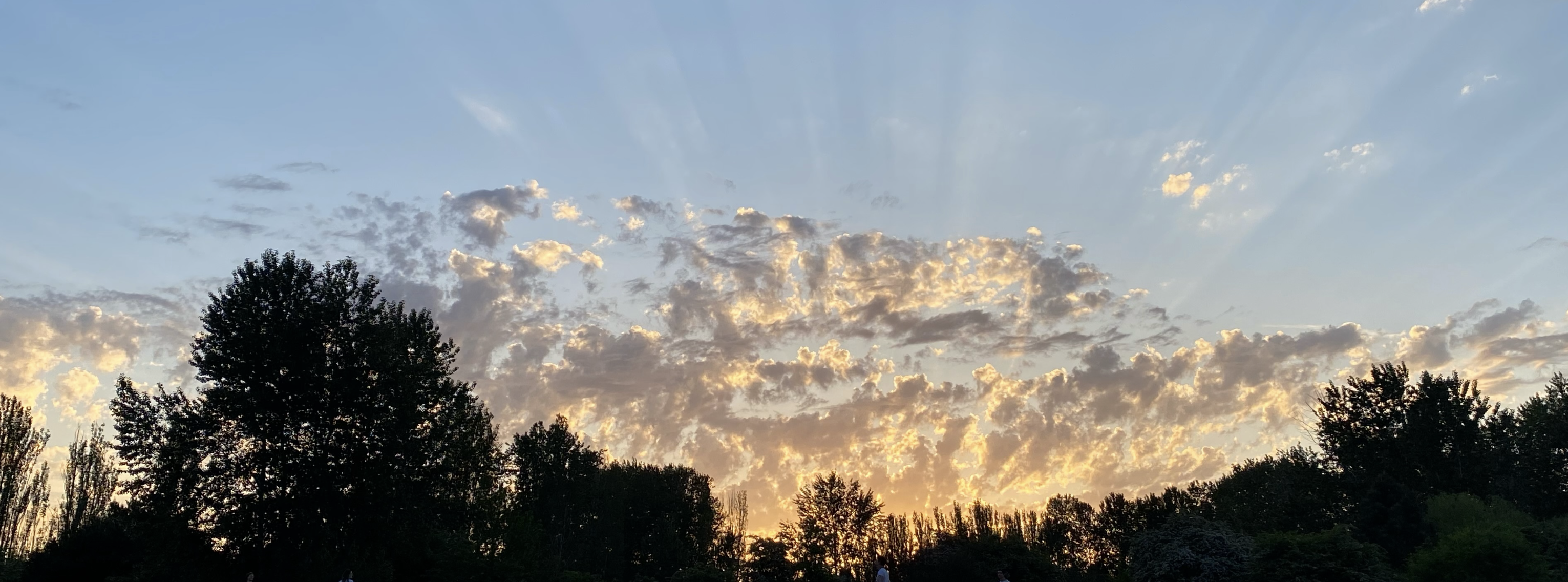
And earlier that day one could view cumulus cells forming several thousand feet above the surface (image from the Seattle PanoCam).

Below is a nice example of such clouds near the UW taken by cloud expert Art Rangno decades ago.

Altocumulus castellanus clouds provide potent hints about what is happening in the atmosphere, as well as potent information for short-term forecasting.
Let me tell you about it.
Altocumulus castellanus clouds generally form between 6000 and 20,000 ft and indicate mid-level instability: the tendency for the atmosphere to mix vertically, driven by large differences in temperature with height.
We call such instability convection, and if there is sufficient moisture, the upward motions produced by the instability result in cumulus clouds.
If you ever prepare hot cereal, you have viewed convection in your saucepan, with the oatmeal moving up and down, driven by the heating at the bottom.

Large-scale upward motion associated with an approaching weather system can help initiate and support the mid-level convection--so the existence of altocumulus clouds provides a strong hint of potential weather action in the future.
The altocumulus clouds aloft also indicate mid-level moisture, which is also helpful for thunderstorm formation. Furthermore, when convection associated with surface heating extends upward to reach a layer of castellanus clouds, deeper, more intense convection and thunderstorms can occur.
Storm chasers in the midwest often look for altocumulus castellanus clouds as a favorable sign for future severe thunderstorm development, and many Northwest thunderstorm events have been preceded by "castles in the sky."

More like an exquisite impressionist painting than a meteorological phenomenon.

__________________
Note: I will do a special online Zoom session this Saturday (May 27th) for my Patreon supporters. Will talk about the summer wether forecast and answer your questions.


How do these differ from "fairweather cumulus"?
ReplyDeletegenerally "fair weather cumulus" have lower bases ....but it is not religion....
DeleteWondering what atmospheric conditions are making sounds louder today (Friday, May 26). Live in east Kitsap on Puget Sound. Airplanes, ferry horns, birds and people talking are louder and seem to reverberate.
ReplyDeleteCastles in the sky on a flight from Chicago to Seattle last week, though i'm unsure if they are altocumulus:
ReplyDeletehttps://www.flickr.com/photos/bwellsea/52907313131
I have noticed that fairly often at the last day of a Seattle summer heat spell, as the beginning of a decent marine push is getting underway, we get a display of castellanus in the afternoon. Always welcome as I'm not a warm weather fan. =)
ReplyDeleteThey never develop much; I assume this is primarily the result of a nudge upward of the departing warm air mass by the incoming ocean air?
It seems there's always a 2 day process of VERY HOT and sunny, and then 3rd day being not as hot but more humid
Delete