After a long dry period, western Washington and Oregon are finally getting some significant rain.
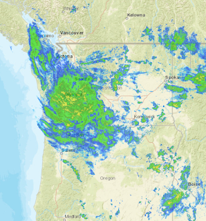
The radar image at 7 AM shows a mass of precipitation extending roughly from Seattle to Portland, some of it of moderate intensity (yellow colors). This precipitation is coming from an unusual direction: from the east.
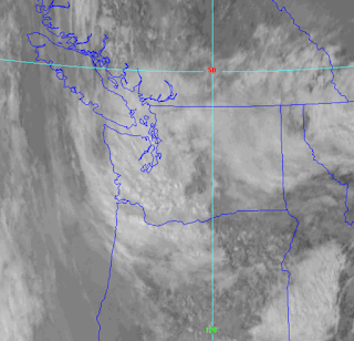
The infrared satellite image at the same time shows the extensive clouds over the region, some of it clearly convective. But none of it is deep enough for lightning.
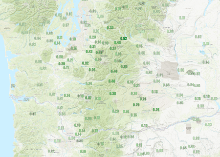
As of 8 AM, there has been significant 24-h precipitation over the Cascades and southwest Washington (see below)
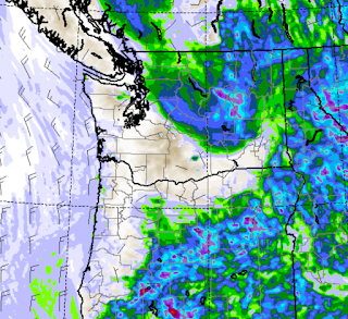
The latest NOAA HRRR forecast of accumulated rain from 5 AM Friday until 8 PM tonight, predicts up to approximately half an inch from the Olympics to the south Cascades.
An Admission
This situation has not been particularly well forecast. On Wednesday afternoon our model prediction had the rain heading further northward (the 72h rainfall total ending 5 AM Saturday is shown below).
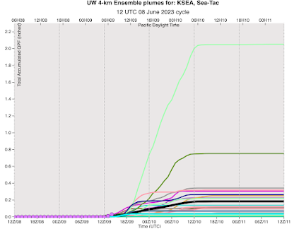
On Thursday morning, our prime tool for understanding forecast uncertainty...ensembles of many high-resolution forecasts, was starting to show the potential for rain with about half of the ensemble members going for significant precipitation (see accumulated precipitation plots for forecasts starting 5 AM Thursday, time increases to the right). Each line is one model, the black line is the average of all of them.
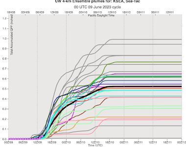
By last night, the ensembles were going wet (see the forecasts below).



I have a few power tools and some plywood that look forward to your analysis :√(
ReplyDeleteI left mine out as a sacrifice to the rain gods. That's how this works scientifically, right?
DeleteI'm curious as to why the Cascades did not inhibit this system as it does when systems approach from the west.
ReplyDeleteGlad to read that the storm was poorly predicted - I was really surprised by the rain when I woke this morning! I'll take some summer rain - knocks down the pollen count and keeps fire fuels greener longer!
ReplyDeleteLuckily the items I had left outside weren't soaked when discovered early this morning...the rain was unexpected but is certainly not unwelcome. The last several weeks have required the use of a lot of water for the garden.
ReplyDeleteEllensburg area (KELN) dropped to a 61° temp about Noon today and the next two nights are to be low 50s. Seems more like a marine environment than a near desert. Early next week we go back into the 80s.
ReplyDelete