The Pacific Northwest is a meteorological kill zone.
The place where fronts come to die.
Time and time again, there is a relatively strong Pacific front offshore approaching the coast, with a dramatic wind shift, strong gusty winds, and often very heavy frontal precipitation. On the coast, it is a real barn-burner.

But over the interior of western Washington and Oregon, it is profoundly weaker, and then almost imperceptible over the Columbia Basin.
Let me show you an example during last Wednesday afternoon. At 1:05 PM an intense front was offshore, made evident by the radar image showing intense echoes (red colors) offshore. The corrugation of these echoes indicates strong wind shear and frontal intensity (known as a narrow cold frontal rainband).


To show that the surface frontal contrasts have weakened, consider the wind and pressure observations at an offshore buoy off the WA/OR coast (left panel) and another observation location in central Puget Sound (West Point lighthouse)(right panel).
Offshore, the is a very sharp increase in wind gusts (red) and sustained winds (blue), with gusts hitting 43 kts! Subsequently the winds dropped rapidly at the buoy. The front was associated with a very large pressure decline (green line), followed by a rapid rise after frontal passage. Classic for a strong front. Over Puget Sound, the pressure decline was less dramatic and winds only gusted to 21 knots. In fact, the stronger winds were in the period after the frontal passage.


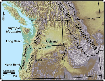
And if the coastal mountains don't do a good enough job, the higher terrain of the Cascades helps to finish the weakening process.


Hi Cliff: Almost a year-and-a-half ago, I relocated from British Columbia to Saskatchewan. Your last sentence caught my attention because lee-side cyclogenesis has a significant influence here, bringing us the infamous Alberta clipper, with which I'm becoming familiar. It's interesting to realize that atmospheric rivers, chinooks, and clipper systems are so closely interconnected. I still read your blog faithfully Cliff, even though I don't live in the PNW anymore. I appreciate your efforts to provide accurate information which is free of political "spin." Also, my family lives in BC, so I like to know what I'm (not) missing.
ReplyDeleteA neat analysis – thanks.
ReplyDeleteOn the next-to-last image - - -
The yellow area ESE of Omak are highlands on the Colville Reservation with elevations 3,500 to 5,000 feet. So the air is elevating after moving across the Central Columbia Basin. Wenatchee is about 650 to 700 feet.
Question...do at least SOME fronts move up to us from the South?...or for that matter, from the North?
ReplyDeleteThis is off topic. The Washington Post has an article on AI and weather forecasting. The Google system seems to be a little more accurate in some ways than the European model. And it can do it with far less computer power. I would appreciate your evaluation of how AI is going to contribute to forecasting.
ReplyDeleteI second that request! It seems like some huge changes are ahead for how forecast models are built and (especially) how they will be refined and improved over time.
ReplyDelete