We are in an unusually cool period ahead and, believe it or not, more snowflakes are expected over the western lowlands during the next few days
But before I discuss the forecast, we need to talk.
There is a substantial amount of confusion about the differences between predicted snowfall and snow accumulation or snow depth.
This difference is particularly true when temperatures are marginal for snow.
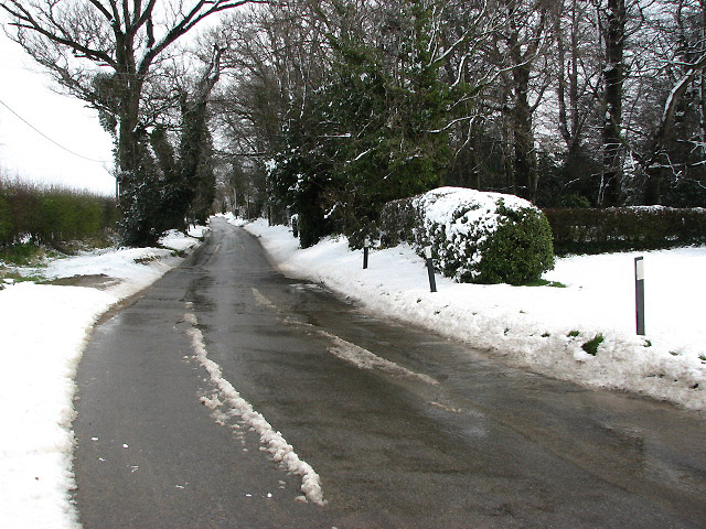
Even when the atmosphere is below freezing, the depth of snowfall on the ground can vary immensely.
If the ground is above freezing (as it often is around the mild western lowlands), the snow can melt, resulting in far less (or NO) accumulation. This is particularly true on asphalt or concrete streets that support the conduction of heat from below.
Snow can also compress under the weight of the snow above.
Bottom line: event with cold conditions in the atmosphere, the depth of snow can end up much less than expected.
But the situation is "worse" than that with temperatures are on the margin for snow. In marginal situations, where the freezing level is above the surface, the snow is ALREADY melting. The model diagnostics consider wet snow as snow, so a snowfall map can be impressive (5 inches!!), but far less assumulates on the ground where the wet slop rapidly melts away.
For these reasons and others, I constantly note the difference between snowfall and snow accumulation in this blog. Perhaps I need to stress this more. Perhaps I need to show snow depth forecasts!
OK, let me try to do it right in this blog.
During the next few days, we will stay unseasonably cold, with a low center forming off the coast (see forecast sea level pressure map and low-level temperatures a 7 AM Saturday). Temperatures will be marginal for snow over Puget Sound land near sea level, but some flakes in the precipitation is probable. Blue colors indicate areas cold enough for snow to reach the surface.


NWS generally refers to snow accumulations in its snow forecasts. Although it missed on accumulations for many areas covered by the winter advisory in the last event, it was quite accurate for the Bellingham Airport area, which about 200 feet above sea level.
ReplyDeleteWhat's the purpose of posting a snow fall forecast verses an actual snow depth forecast? 99% of your followers would likely only be interested in how much they'll see on the ground.
ReplyDeleteThe main goal of the NWS is to provide weather forecasts for all segments, including the general public. It is not to just talk to other meteorologists To quote from the NWS mission statement:
Delete"Provide weather, water and climate data, forecasts, warnings, and impact-based decision support services for the protection of life and property and enhancement of the national economy."
https://www.weather.gov/about/
If the substance of this blog is taken at face value then the question begged is: why show model predictions for snowfall at all rather than those for snow depth?
ReplyDeleteI would imagine it's because all the weather models are focused on predicting what is going to happen in the atmosphere. That is weather, after all. What happens on the ground is a completely different animal with different variables.
Deleteseussnelson: "What happens on the ground is a completely different animal with different variables."
DeleteVery much so. Attempting to account for all of those variables in a snow depth forecast for any specific area would be next to impossible -- way too much data subject to way too much uncertainty.
The comments to the effect that snow depth is somehow not a function of weather don't make sense since atmospheric phenomena are clearly major determinants of snow accumulation which should be obvious given that predicted snow depth is one of the outputs of the UW model as shown in the blog.
ReplyDeleteCOT: Meteorological winter (December - February), overall, was cool and dry at BLI and environs: 56% and -1.8F, cumulative precipitation and temperature anomalies, respectively, for the period.
ReplyDeleteHow does (can) one measure snowfall amount if it melts on contact?
ReplyDeleteComing from the Midwest, shoveling snow with light consistencies vs. heavier ones could often mean the difference between putting your back out in trying to clear your sidewalk and driveway. The recent snowstorm in Portland that dumped over ten inches in most locations was of the heavier type, and this was reflected in the snow depths regarding the nearby Cascades.
ReplyDelete