Just over a year ago, Hurricane Dora passed south of Hawaii and strong downslope winds descended the western slopes of the West Maui mountains,\ resulting in wildfires that destroyed the town of Lahaina and killed approximately 100 individuals.
As I write this, another tropical system, Tropical Storm Hone, is approaching the Hawaiian islands and will pass south of the Big Island during the next 24 hr (see satellite picture below around 6 PM PDT). The star indicates the storm's center and the arrow points to Lahaina on Maui.

During the past year, I have worked with UW research scientist David Ovens to understand the meteorological situation associated with the 2023 Lahaina disaster... if you are interested you can read about it here.
Thus, it was with considerable interest that I watched the approaching tropical storm today, and carefully examined the forecast model diagnostics.
My general take is that although this event is far less of a threat to Maui, it will produce damaging winds in some locations, as well as heavy rainfall.
What are the key differences from last year that make this event less threatening?
First, the storm is substantially weaker and closer and Hurricane Dora of last year. Closer means substantial precipitation will reach the islands, which works against wildfire danger.
Below is the total precipitation through 11 PM PDT tomorrow. You can see the swath of rain directly associated with the storm south of the islands. Enhanced, moist easterly flow connected with the passing storm will produce substantial rain on Hawaii (up to 15 inches) and on portions of Maui.

A key element of last year's storm was the very high pressure to the north of Maui, which resulted in strong winds approaching the Maui mountains. These winds interacted with the mountains to produce very powerful, dry downslope winds that directly contributed to the fire.
Today, the high pressure to the north is much weaker than last year, leading to a weaker north-south pressure difference and thus lesser winds approaching the West Maui Mountains (see map of pressure (solid lines) and pressure difference from normal (color) below). The blue circular area approaching Hawaii is the tropical storm.

But there is something else...something more subtle....but very important. The downslope wind response is not only influenced by the wind speed and direction of the air approaching the barrier but the stability of the air as well, with stability dependent on how temperature and moisture change with height.
The strong high pressure a year ago made the stability variability near the crest level ideal for strong downslope wind around Lahaina (there was a stable layer just above crest level). The situation is FAR less favorable today.
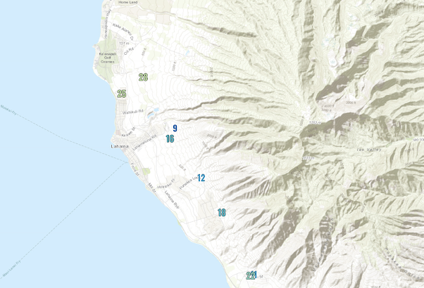
The greatest winds associated with enhanced northeasterly trade winds tend to be near Lahaina, downstream of the West Maui Mountains, and on the northwest side of the Big Island, downstream of the Kohala Mountains (see red arrows)

Let's check out the latest winds around Lahaina and northeast Maiu...and there are MANY more wind observations today than a year ago. The maximum winds today (shown below) were only about 25 mph north of Lahaina.
The approaching winds are stronger over the Big Island and the maximum winds have become very powerful on the Kohala coast...reaching 93 mph! (see below). Wow.

The danger of these winds is mitigated by relatively high relative humidity and the fact that light rain is making it over the crest. The rainfall over the last 12-h (shown below) has been intense near the crests of the Kohala range (up to around 5 inches), with very light rain reaching the strong wind area on the lee (southwest) side.

At this point, Hawaiian Electric is not shutting off any power to prevent wildfires (see below). For Maui, I would agree, but northwest Hawaii is another story.
There is plenty of dry vegetation there. I hope they are making the right decision.


Gilma and Hector are following along. Mostly rain, I think.
ReplyDeleteI live on the leeward slopes of the Kohala Mountain on the Big Island. Given the fact that this part of Hawaii has been cattle grazing land for centuries, there isn't much to slow the northeasterly trades from blowing, sometimes, at 20-30 mph for days. That said, this description of what happened this past weekend is extraordinarily accurate. It is hard to believe Mr. Mass wasn't actually here! Great explanation of what happened.
ReplyDeleteI hope they are listening to their own competent folks. Some incredible wind speeds.
ReplyDeleteOn a different meteorological tangent, I noticed the NWS Seattle is revising their forecast zones, in what appears to be a very sensible way (to a layman). Not sure if you've commented on this before, but it would be interesting to read your take on it. https://storymaps.arcgis.com/stories/ad23cf705e754f7ea7c6452e03a7d501
They rely on that rain, huh? Store it?
ReplyDelete