Contradictory to local weather wisdom. Contradictory to the normal state of affairs.
But it's true.
For a number of days, it has been much wetter east of the Cascade crest than over western Washington and Oregon.
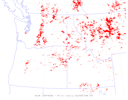
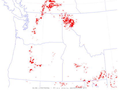
Consider the total rainfall over the past three days (see below). Numerous precipitation reports on the eastern side of the Cascades and only a few precipitation events over western Oregon and Washington.
Day after day, fairly intense thunderstorms have developed over the high plateau of eastern Washington and along the eastern slopes of the Cascades. To illustrate, here is the radar image from 5:30 PM today (Saturday), with red indicating very heavy rain.
Wow. Lots of serious thunderstorm activity east of the Cascades.
Why so much wet action east of the Cascades, while western Washington has been dry?
Good question.
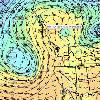
As illustrated by the upper-level map for Wednesday at 8 PM, we have had a weak ridge of high pressure/heights over us. This feature steers away approaching Pacific storms and fronts, working against rain in western Washington. This pattern has also resulted in weak onshore flow, that has brought cooler marine air into the lowlands west of the Cascade crest.
But eastern Washington and Oregon, have the Cascades to block the problematic cool air, leaving the door open to thunderstorms. Low-level warming is aided by the high pressure, which facilitates a large change in temperature with height---good for thunderstorms. And the warming of the surface by the sun is very strong now--also helpful for thunderstorm generation.
Tomorrow's model precipitation forecast suggests more of the same for eastern Washington and Oregon. Western Washington should be cooler and cloudier on Sunday as the influx of cool, marine air increases.


While on hike yesterday afternoon I could see the dark clouds building up to the east, and then later heard very loud and frequent thunder claps. It was always a safe distance away so it was a cool experience
ReplyDeleteSorry I missed the action. Maybe retire in Leavenworth?
ReplyDelete