August 06, 2010

The Big Chill

There is always that sense of regret and loss when the first frontal system makes landfall after the late July/early August dry spell and this year it is coming early. Take a look at the latest infrared satellite image below--you can see the clouds associated with this front quite clearly.
Today we had considerable clouds over the lowlands of western Washington and cooler temperatures. Tomorrow will be a substantial stop down. Clouds will prevail to the Cascade crest, particularly over the northern half of the state, and light showers should be on the coast in the am and move in during the morning over NW Washington, southern BC, and the north Cascades. Want to be dry--head east of the Cascades or go south. Camping in the Cascades..take a tarp,.

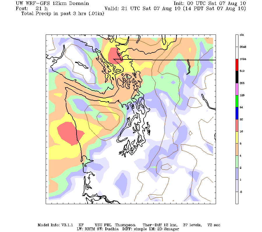
Here are some forecast precipitation maps from the latest computer forecasts, specifically the three hour rainfall ending 8 AM, 11 AM, 2 PM, and 5 PM. You decide what you want to do!

August 05, 2010

Mini-Hurricane Over Vancouver Island!


Here is an amazing radar image this morning (thanks to blog-follower Paul for bringing it to my attention). Looks just like a mini-hurricane with rainbands! The animation is even more impressive:

http://www.atmos.washington.edu/~ovens/loops/wxloop.cgi?atx_n0r+16/3h/

and here it is in the visible satellite image:


The origin? The atmosphere this morning is relatively unstable (thus convection) and there is an atmospheric vortex centered over Vancouver Island. You could see the signs of the instability yesterday: thunderstorms over the Cascades with some mid-level convection over the western lowlands. The "hurricane" is probably not forced by the terrain...the atmospheric circulation, forced by the larger scale flow, happens to be located over the island.

Smoke in the West Means Relief in the East. The Big Threat Comes Later this Week

As predicted, the winds aloft have turned easterly (from the east), resulting in smoke from eastern Washington moving aloft over western Was...