Announcement
The Northwest Weather Workshop, the annual gathering to talk about Northwest weather, climate, and major meteorological events, will take place on May 1, 2021. This year we will have a special session on the meteorology of the September 2020 regional wildfires. The meeting will be online. More information, the agenda, and registration information is found here: https://atmos.uw.edu/pnww/
____________________________________
A powerful cold front moved through the region yesterday.
At Camp Muir at 10,000 ft winds gusted to 143 mph, with winds over 100 mph for 15 hours. Amazing.

But the front, with its intense horizontal pressure gradients, also brought strong winds to the surface, as shown by the maximum gust map on Sunday (shown below--click on the map to expand). 50-60 mph over Northwest Washington and the coast, and 55-80 mph along the eastern slopes of the Cascades and stretching into southeast WA. The strong flow accelerated as it descended down the Cascade slopes or pushed through the Columbia River Gorge.

One of the most fascinating aspects of the event was the strong westerly (from the west) surge of strong winds in the Strait of Juan de Fuca. At Smith Island, just off of northern Whidbey Island, the winds rapidly shifted from southerly to westerly, increasing in strength to 40 knots (46 mph)


In this case, the potential for precipitation was enhanced by the unstable nature of the air mass (cold air moving in aloft). Thus, the radar image at 2 PM shows an intense band of precipitation entering the northern Sound (see below, red is VERY heavy precipitation). There was lightning associated with some of the more intense convective cells within this feature.

Mary Clemons and her husband decided to take a walk along the shore of Whidbey Island right before this line went through. Here is her description of what happened:
My husband and I went for a walk on the bluff up at Fort Casey in Coupeville today around 1:30. There were sinister-looking clouds to the north/northwest around Ft. Ebey (and it looked to be raining heavily there) but the wind was blowing incredibly hard from the south so we weren't concerned we would be affected by that weather - we thought it had already passed our location. We set out on our walk heading south - into the wind.
Maybe 5 minutes later (or less) there was an abrupt change in weather with seemingly no warning like I have never experienced before.
We were caught in a very intense hail storm with even stronger winds from the north/northwest than we were already having from the south. We ran for the car (probably a 1.5 minute trek that seemed like it took 1/2 hour) and it was all I could do to open the north facing car door (had to use both hands) to get in and take shelter.
And if you want a more visual impression of what happened, watch a video of the line passage on the northern Kitsap Peninsula from Greg Johnson's Skunk Bay Weather site:
The air temperatures dropped 10-15F behind this front and the combination of heavy precipitation and cooling aloft resulted in both small hail and some snow flakes reaching the surface yesterday afternoon and early evening. In some locations, the white stuff accumulated leading to dangerous driving (see below on Redmond Way)

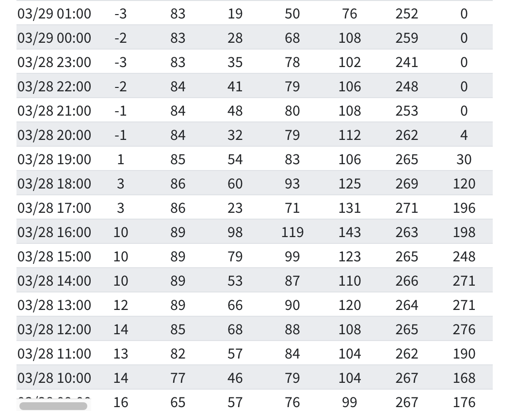
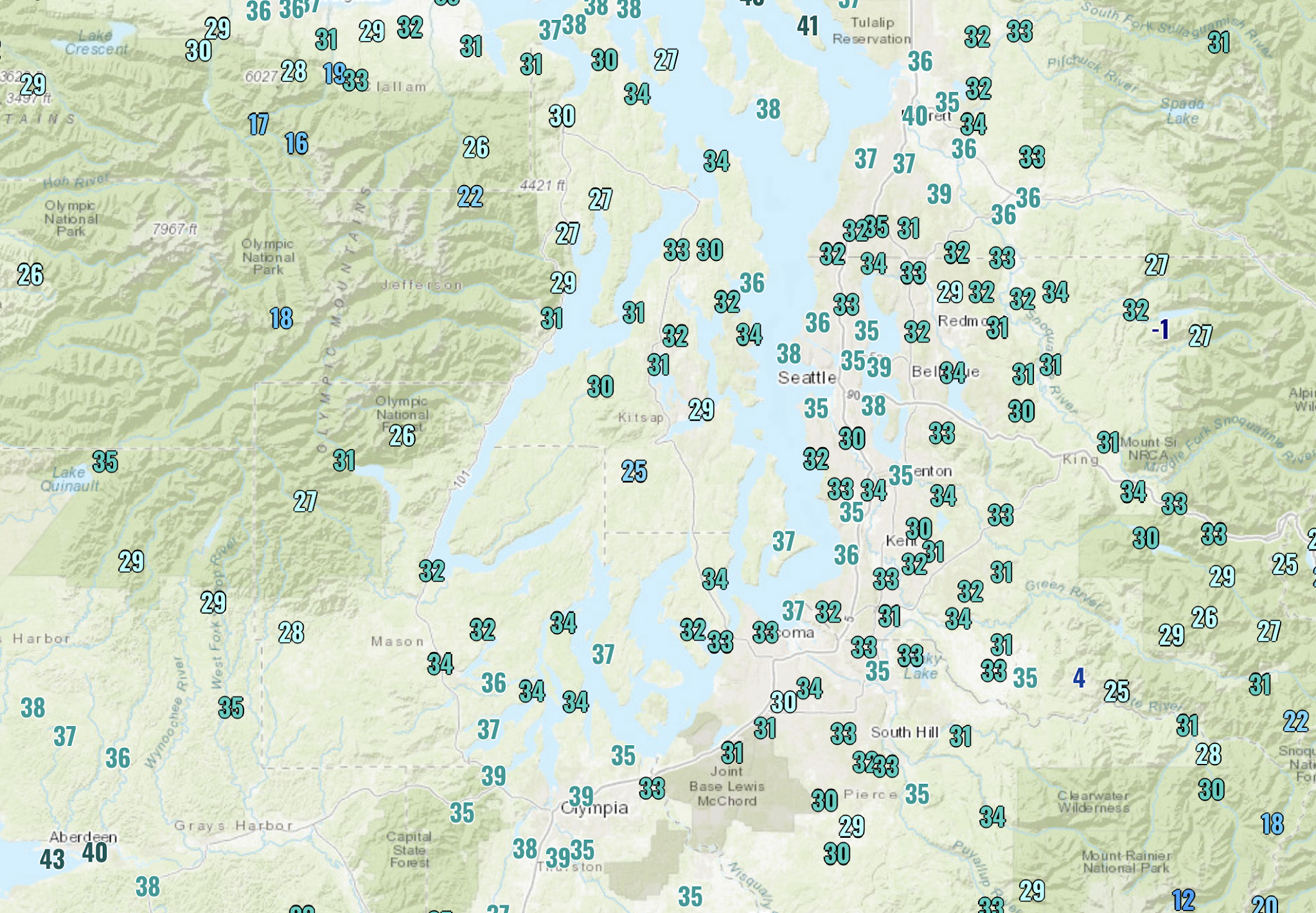
And minimum temperatures last night dropped into the lower 30s and even below freezing in many locations away from the water in western Washington (see map below)
Milder temperatures are expected this week as high pressure builds over the eastern Pacific.


Hey Cliff. If you choose to discuss HRRR smoke as part of your workshop, you might want to mention that the public can access HRRR smoke from their iPhone's / iPad's or Mac's by using LuckGrib. As you know, the operational HRRR now includes the smoke parameters. I'm looking forward to watching to see how it performs this coming summer!
ReplyDeleteYou absolutely nailed this one!
ReplyDelete