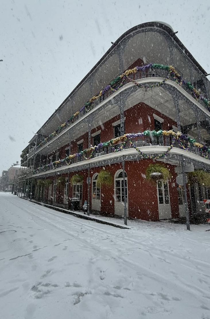
Not a boring time for meteorologists. New Orleans Airport is closed with record-breaking snow and cold, while the Pacific Northwest is strangely dry and southern California will get its first decent rain of the season.
The Big Easy
All because of a highly amplified upper-level wave pattern.The upper level (500-hPa) height map (think of this as pressure around 18,000 ft) today shows a ridge of high pressure aloft over the eastern Pacific while a trough of low pressure is found over the eastern U.S. (red indicates high pressure and blue indicates low pressure).
Ridges/high pressure are associated with sinking air and dry conditions on their eastern sides. Like over us. Troughs are associated with rising air and precipitation. Between them, cold air moves southward.
By Thursday the eastern Pacific ridge becomes crazy strong.
Keep your sunglasses handy, as it will be sunny and dry. What a nice break in the middle of winter for us. But cold and wet over the eastern US.
By Saturday, something interesting...and important... will occur. A trough will develop south of the West Coast ridge, resulting in a pattern called a Rex Block. Very stable pattern.
Such a southern California trough will produce upward motion and precipitation. Southern California will get wet. Significantly wet.
Below are the forecast precipitation totals through next Monday evening. As much as 1.5 inches in the mountains near LA. Significant rain over the entire coastal zone.
Such rain will moisten the light fuels and greatly reduce the fire threat until the next Santa Ana. Very good news.
Finally, something else occurred today that I thought was interesting.....a very energetic Chinook wind on the western side of the Rockies around Great Falls, Montana.
Two days ago, shallow cold air was entrenched over the lower elevations of Montana, with lows of -5 to -20F. (see below)
But with high-pressure building over the east Pacific and lower pressure inland, strong winds from the west descended into eastern Montana. As the air descended the eastern slopes of the Rockies, warming by compression occurred. This descending air also displaced the frigid dense air that was in place.
Today's low temperatures were MUCH warmer around Great Falls and neighboring locations near the eastern slopes of the Rockies, with highs getting into the 20s!
Check out the temperature and relative humidity observations at Great Falls during the past day (below).
Yesterday morning at 7 AM, the temperature dropped to around -9F. By noon it was 12F and by noon today is was around 36F. All associated with air sinking on the eastern slopes of the Rockies.
The UW WRF model simulated this transition well. The forecast surface temperatures for 4 AM Monday were very cold over most of Montana on Monday (white is very, very cold air). The winds are shown by the wind arrows. Weak at low levels.
But by 10 PM PST Monday, the white was gone as westerly winds descended the Rockies. Blue colors are relatively warm.
Chinook winds are also Foehn winds and are sometimes referred to as "snow eaters."


.png)


Thanks for the voacbulary lesson today Cliff. I'm curious....the morning fog has burnt off every day for the last few days around 10-11 AM (down here in Olympia), but yesterday (Tuesday) it had already dissipated before sunrise. What threshold is being tested that determines whether the fog burns off or not? Today is noticeably warmer than yesterday (and much warmer than Monday). Yet there was some condition met yesterday that caused the fog to dissipate that must not be directly correlated to temperature. There were also no winds either yesterday so I guess I'm just curious what mechanism drives this process. Thanks!
ReplyDeleteSo this is a La Nina year, right? Aren't they supposed to be wetter that average? This one seems to be bucking the trend. I guess it is not a good predictor.
ReplyDeleteGreat to hear of the possibility of some rain in SoCal.
ReplyDeleteRe development of very stable "Rex Block": When will it break down and allow any moisture/snow in Cascades? Skiers are not happy with the firm and icy snow left over from the last snow event days/weeks ago.
ReplyDeleteIndeed, I'm in Revelstoke and we've had 1 decent snow fall for the whole month of Jan with nothing in the forecast through into Feb. This is the 3rd winter in a row we've had almost no snow in town here due to it being too warm and/or too dry. Dec we had a lot of snow in the mountains but mostly rain in town, the bottom of the resort is still just dirt and rocks. Been skiing in the PNW for the last 20 years and have notice this ridging become more frequent or for longer durations in the winter.
DeleteIf NOAA to be believed mid week next week it weakens
DeleteNo need to worry, winter ridging is quite common in January and February. Many examples over the years but looking at the historical weather records for Jan/Feb 1993 and 2001 as well as Jan 1985 , Feb 2003 and February 2005,and mid- Feb to early March 2015, shows clear examples of extended winter ridging/blocking patterns that lasted weeks.
DeleteThis amplified pattern looks like it's going to break down around the end of the month anyway. The MJO is active and in phase 3 which often translates to an atmospheric river pattern after the ridge breaks down.
Surface pressure is already very high over Western Washington. If it continues to increase, we'll see values even higher than during January 2023! This round of high pressure is associated with quite different sensible weather than two years ago, however, at which time it was cloudy/overcast but yet somehow enough lift was generated to result in measurable precip.
ReplyDeleteI know Rex block patterns aren't unusual in the Pacific Northwest, but I'm curious how this one ranks historically, or has the potential to before it finally breaks down. So far barely over an inch of rain this month at Sea-Tac!
ReplyDeleteSure looks like a wavy jetstream and vortex. Never seen them this convoluted.
ReplyDelete