There was quite a lightning fest east of the Cascade crest today, with an impressive vortex of thunderstorms producing massive amounts of lightning.
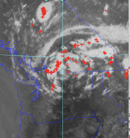
The lightning flashes for the ten minutes ending 5:20 PM tonight were amazing (see below, with clouds shown as well), with lightning circling around the vortex centered near Omak, WA. Just wow....
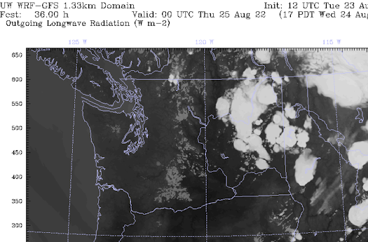
The visible satellite image a few hours earlier shows the vortex and the numerous associated thunderstorms (each producing a blob of clouds).
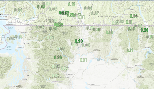
These thunderstorms produced more than lighting, as illustrated by precipitation totals for today (Tuesday)...see below. Some locations got over a half inch....a lot with a tenth of an inch or more.
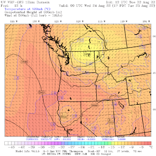
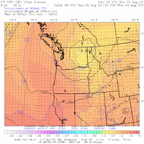
The origin of this impressive vortex of clouds and lightning is an upper-level low. Below is the map of 500-hPa heights (like pressures at 18,000 ft) around 5 PM (the winds are shown as well). The low is centered near the WA/Canadian border, northwest of Spokane.



I live in Vancouver, I looked toward the east this afternoon and I also saw towering clouds, lots of them!!!
ReplyDeleteOff topic, I noticed the warm blob is back should we be concerned about this winter snowpack?.
ReplyDeleteYep, as I say I was in one of them! I understand that the Hart's Pass Road was blocked by slides just after we left. An hour later and we'd have been stranded.
ReplyDeleteWow what a cool photo, Cliff, thanks for sharing! Amazing that our clear skies here give us a front row view to appreciate the scale of those thunderheads!
ReplyDeleteThere was a really impressive cloud structure south of Mt. Rainier this evening (8/24) around 7 PM. Looked like maybe a mini convergence zone causing a thunderstorm but I didn't get a picture. I'd be interested in getting your take.
ReplyDeleteI live near republic and recieved 1.10" wednesday evening in a very short time span and another .30" this evening. Big rains and a massive amount of lightning in the area. End of August and my 80 acres Is very green still.
ReplyDelete